
Apps Like Deed Calls - Grid - Stakeout for iPhone and iPad
Deed Calls - Grid - Stakeout screenshots
Ranked alternatives
Showing 1–20 of 1,000 ranked alternatives.
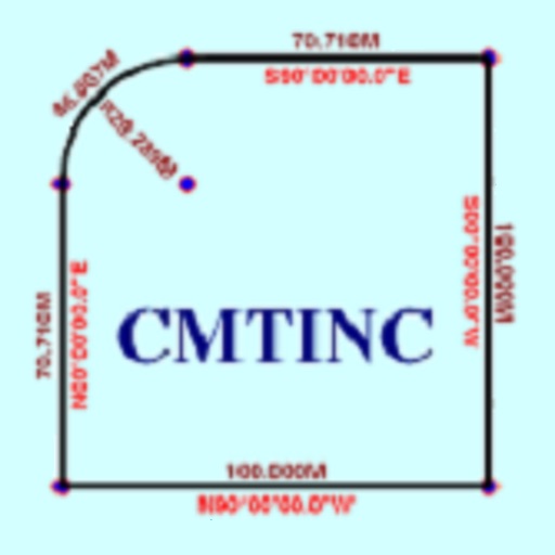
Deed Calls - Area - Perimeter
Corvallis Microtechnology, Inc.
Convert property descriptions into maps.
The app converts real property descriptions into boundary maps. Users enter angles and distances to draw property boundaries, displaying closure error, total area, and perimeter.



Avenza Maps: Offline Mapping
Avenza Systems Inc.
Navigate with maps and GPS
Use GPS to navigate trails . Import custom maps and create personal maps. Access topographic, hiking, cycling, and city maps from publishers like National Geographic and National Park Service. Sync with devices for use.




Map Area Calculator - Marea
Applorium Ltd
Calculate from coordinates
Calculate using coordinates with options for square meters, feet, acres, hectares, kilometers, and miles. Measure distance between points. Premium users can save areas, add notes, attach images, and calculate prices based on values.

Travel Altimeter & Elevation
BranchenKing Ltd.
Track altitude changes with a barometer
Track changes using a barometer and set reference pressure and altitude. View real-time altitude and adjust landscapes based on time of day. Use compass for orientation during hiking and outdoor activities. Compare differences between two points.

Rocket Lawyer Legal & Law Help
Rocket Lawyer Incorporated
Create documents and get from pros
Create and customize documents with templates for contracts, wills, and more. Fill out forms with guided steps and save drafts. Share documents securely with others. Access resources and expert advice through the .

Draft Paper
Giles Goddard
Draw, export, and organize blueprints
Create floor plans and layouts by drawing lines, rectangles, and shapes on up to 10 layers. Add text, arrows, and measurements. Export designs as PDF, JPEG, or DXF. Sync files via iCloud and transfer via DropBox.

HuntWise: A Better Hunting App
Sportsman Tracker, Inc
Optimize outdoor experience and increase odds.
The app analyzes weather variables to identify optimal hunting times. It provides hunting maps, property lines, and landowner contact information for scouting and navigation.
Stakeout iCMT
Corvallis Microtechnology, Inc.
Digitize points lines and areas.
The app digitizes points, lines, and areas of interest on a map. Its point stakeout function uses GPS to guide users to target features, while the line stakeout function displays distance to a line or area for parallel movement.

MilGPS
Cascode Labs Pty Ltd
Navigate with MGRS coordinates and waypoints
Display current location and customizable info on large text screens. Create waypoints using location, crosshairs, or coordinates. Organize waypoints into overlays and navigate to them with arrows or maps. Track movement and view location details.

Metes and Bounds Basic
Sandy Knoll Software, LLC
Draw property deeds into plat drawings.
The app converts property deeds and legal descriptions into plat drawings. It calculates area, perimeter, and closing error, and provides X,Y coordinates for tract endpoints.

Web - Workspace ONE
Wandering WiFi LLC
Access company sites and intranet
Access company websites and intranet sites without manual VPN setup. View and manage bookmarks pushed by your organization. Browse securely across internal and external apps.

REVER - Motorcycle GPS & Rides
Rever, LLC
Explore routes and share adventures
Plan routes and track progress with turn-by-turn navigation. Share locations and routes with friends. View real-time maps and terrain details. Record and replay journeys with GPS data. Explore user-generated trails and points of interest.
How we rank alternatives
Apps are ranked by functional similarity, category fit, rating confidence, and popularity.