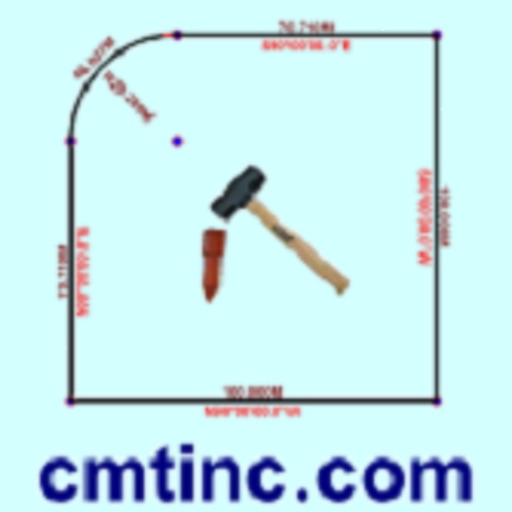
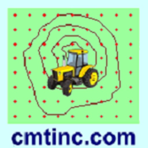
The app digitizes points, lines, and areas of interest on a map. Its point stakeout function uses GPS to guide users to target features, while the line stakeout function displays distance to a line or area for parallel movement.
by Corvallis Microtechnology, Inc.★ 2.65 ratingsNavigation$14.99Data updated 2026-10-09
Create floor plans and layouts by drawing lines, rectangles, and shapes on up to 10 layers. Add text, arrows, and measurements. Export designs as PDF, JPEG, or DXF. Sync files via iCloud and transfer via DropBox.
The app allows users to record Points, Lines, and Areas with descriptions. It can view distances and areas, record tracks, and organize data in Topic layers.