
Stakeout iCMT
Digitize points lines and areas.
Corvallis Microtechnology, Inc.
iPhone Screenshots



Description
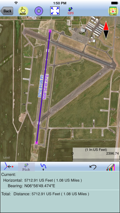
The app digitizes points, lines, and areas of interest on a map. Its point stakeout function uses GPS to guide users to target features, while the line stakeout function displays distance to a line or area for parallel movement.
“Stakeout iCMT” is a handy app that provides functions to help the users perform point stakeout and line stakeout tasks. It will let the user precisely digitize Points, Lines and Areas of interest over the built-in Map. With the help of GPS, the point stakeout function can guide the user to the target Features. The Line Stakeout function will display the distance between the user and a Line or Area, enabling the user to move parallel to or along the target line. This function can be used to stake fence lines or river boundaries. It can be used for laying out long pipelines in undeveloped areas. The users may also import design data based on WGS 84 and LLA coordinate system from Shapefiles or DXF files. They may email the job files, output the Feature data as DXF files or send the Feature data to a PDF file. Please note: Location data depends on the GPS receiver used. Continued use of GPS running in the background can dramatically decrease battery life. The app will let you easily toggle the built-in GPS on or off. This app comes with a built-in help file. The app creates files for storing user's data. These files are saved in the Documents folder for the app. Users may use iTunes to copy the data files in the File Sharing section to their Mac or PC, and vice versa.