Apps Like Deed Calls - Area - Perimeter for iPhone and iPad
Convert property descriptions into maps.
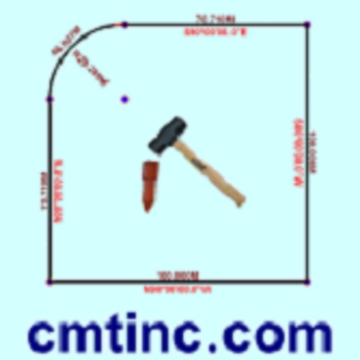
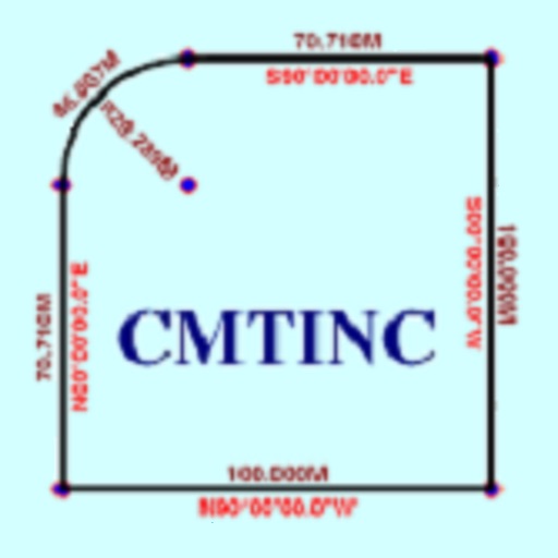
The app converts real property descriptions into boundary maps. Users enter angles and distances to draw property boundaries, displaying closure error, total area, and perimeter.
Deed Calls - Area - Perimeter screenshots
Ranked alternatives
Showing 1–20 of 1,000 ranked alternatives.


Metes and Bounds Basic
Sandy Knoll Software, LLC
Draw property deeds into plat drawings.
The app converts property deeds and legal descriptions into plat drawings. It calculates area, perimeter, and closing error, and provides X,Y coordinates for tract endpoints.

FieldCalc - GPS Area Measure
Pravin Gondaliya
Land and calculate distances with GPS
Land and distances using GPS by marking points on a map. Calculate field size, plot dimensions, and property boundaries. Save and share measurement data. Sync with other devices for accurate field surveys.

MacroPoint For Truckers
Descartes Systems Group Inc., The
Automated location data for drivers.
The app automatically sends in-transit location data to customers in real time. It provides instant tracking connectivity and real-time notifications for load assignments.

BeenVerified: People Search
BeenVerified, Inc.
Unlock public records instantly
Access public records for phone numbers, names, properties, and vehicles. Perform reverse phone lookups, property searches, email lookups, and VIN lookups. Retrieve owner details, locations, and property data including deeds, mortgages, and values.

GPS Fields Area Measure Map
Rento UAB
, track distance, share results
Distances, perimeters, and areas using GPS. Place markers on or objects. Share results with colleagues. Calculate quantities like spray or fertilizer needed. Export measurements for record-keeping.

Turvo Driver
Turvo Inc
Drive and track real-time truck location
Manage freight assignments and track truck locations in real time. View freight details and update statuses directly. E-sign bills of lading and share documents instantly. Communicate with dispatchers through in- messaging.
Tape Measure®
AI Photo Editor Lab SRL
Measure objects with AR precision
Measure distances using augmented reality or direct phone contact. Calculate surface areas and angles. Create floor plans and save measurements. Share results via email or messaging.

Rocket Lawyer Legal & Law Help
Rocket Lawyer Incorporated
Create documents and get from pros
Create and customize documents with templates for contracts, wills, and more. Fill out forms with guided steps and save drafts. Share documents securely with others. Access resources and expert advice through the .

Map Area Calculator - Marea
Applorium Ltd
Calculate from coordinates
Calculate using coordinates with options for square meters, feet, acres, hectares, kilometers, and miles. Measure distance between points. Premium users can save areas, add notes, attach images, and calculate prices based on values.

Metes and Bounds Pro
Sandy Knoll Software, LLC
Convert deeds to plat drawings
Convert property deeds or legal descriptions into plat drawings. Supports feet, meters, and varas. Calculate area, perimeter, and closing error. Auto-complete tracts if the last call is missing. Work with multiple tracks in a single drawing.

GPS Land Measurement & Survey
LOGISIAN TECHNOLOGY SOLUTIONS PRIVATE LIMITED
Measure areas and distances
Measure areas and calculate distances using GPS. Draw polygons on maps to calculate field areas. Save and share data. Access detailed maps and satellite imagery for accurate surveying.

Spyglass
Pavel Ahafonau
Track routes, find waypoints, and navigate offline
Navigate outdoors with offline GPS maps and real-time augmented reality. Track waypoints and custom locations. Use a gyrocompass, speedometer, altimeter, and inclinometer. Find celestial bodies and measure angles.

Hapn GPS
Hapn Holdings, Inc.
Track vehicles, valuables, and people in real
Manage GPS tracking for vehicles, valuables, and people. View real-time locations, receive alerts, and access historical data. Set up tracking profiles and monitor multiple devices from a single account.

Anchor Pro
IdeaBoys GmbH
Set location with bearing and distance
Set location during or after installation using distance and bearing. Define allowed area as a circle or custom shape with angles and distances. Monitor movement and receive alerts when boundaries are exceeded.
Roav Charger
Power Mobile Life LLC
Find your car, pair instantly, tune radio
Locate your vehicle using GPS. Tune to optimal FM frequencies for clear audio. Pair instantly with the Smart Car F2 for call, music, and navigation playback through your car's speakers.


Measuring Tape, Photo Ruler
Grymala sp. z o.o.
With AR and traditional tools
Distances and angles using augmented reality and on-screen rulers. Tap to mark points and calculate lengths. Export measurements as text or image. Sync with other devices for collaborative projects.
How we rank alternatives
Apps are ranked by functional similarity, category fit, rating confidence, and popularity.