The app configures Levil devices and displays AHRS data. It shows graphical and numerical data from Levil AHRS devices, excluding iPad/iPhone internal gyros or GPS data.
by Levil Technology★ 3.03 ratingsNavigationFreeData updated 2026-09-24
Track position, height, and acceleration with accuracy in feet, meters, miles, or kilometers. Log maximum altitude and speed. Display and save current or waypoints on a map. Choose coordinate formats for viewing.
Drive heavy trailer trucks and airplanes to transport cars between islands. Load cars onto trucks, drive to airports, unload them, and reload onto planes for transport. Track progress and complete missions to advance in the game.
Plan flights with detailed weather data, airport information, and NOTAMs. Overlay georeferenced charts on aviation maps. Access IFR and VFR plates for over 200 countries. Manage and download airport plates in advance.
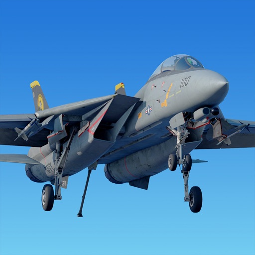
Simulate flight with an F/A-18 Super Hornet. Perform carrier landings, ground attacks, and evade enemy missiles. Select weapons, target warships and helicopters. Access free flight mods from online community.
Play in multiplayer modes with Air Combat and Deathmatch features. Team up with friends for realistic dogfights or compete against global players. Fly aircraft with detailed aerodynamic models and realistic flight physics.
GPS UTM displays precise UTM grid references with 1 metre, 10 metre, and 100 metre formats. Locate position on topographic maps using global datums like ED50. Share coordinates with other apps or users.
Track riding activities and view performance metrics. Personalise riding modes and customise display settings. Plan routes and use smart navigation. Enable theft protection and receive automatic updates.
Track flights in real time with interactive maps worldwide. View departure and arrival boards for airports. Monitor flights of friends or family. Receive alerts for status changes. Share data via social media.
Play a multiplayer paper airplane battle game with online opponents. Pilot customizable planes and use unique weapons like spit wads and firecracker bombs. Support game controllers and AppleTV compatibility.
Track flights in real-time with detailed global air traffic radar. View paths, aircraft positions, and details instantly. Switch between airports or select specific airlines to monitor their flights.
Create and manipulate sounds with precise control over oscillators, filters, and effects. Connect and route modules to build custom setups. Save and load presets. Export audio files and share directly.
Mirror device in real-time to smart TV. Stream videos, photos, and presentations wirelessly. Connect via Wi-Fi without cables. Supports audio and video playback with low latency. Compatible with major TV brands. Simple setup for quick use.
Calculate groundspeed, true heading, compass heading, leg time, distance, fuel required, fuel flow, and endurance for flight planning. Convert airspeed, altitude, and temperature.
Calculate , altimeter setting, relative air , and relative humidity using GPS, weather data, and the phone's barometer. Track specific humidity in grains per pound. Suitable for pilots, engine tuning, and outdoor activities.
Pilots can retrieve information by defining departure and destination airports. Apply filters to narrow results. View NOTAMs in text format or on an interactive map. Translate NOTAMs into multiple languages.