Apps Like NOTAM Briefing (VFR/IFR) for iPhone and iPad
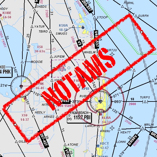
Retrieve NOTAMs for flight prep
Pilots can retrieve information by defining departure and destination airports. Apply filters to narrow results. View NOTAMs in text format or on an interactive map. Translate NOTAMs into multiple languages.
by Hermann Hoelter★ 4.6251 ratingsNavigationFreeData updated 2026-09-06
Assists pilots with interpreting NOTAMs, METARs, TAFs, and Area Forecasts. It decodes acronyms and contractions for both inflight and ground use. Users can search for details and weather reports.
View METAR and TAF reports for global airports. Access TFRs and NOTAMs for every airport. Receive AIRMETs, SIGMETs, and CWA alerts with worldwide coverage. See 3D runway views and airport diagrams for the U.S. and South Africa.
Plan flights with detailed route mapping, weather data, and fuel calculations. Access real-time weather briefings and interactive charts. Log flight details and manage preflight checklists. Sync with avionics for consistent navigation.
Plan flights with detailed weather data, airport information, and NOTAMs. Overlay georeferenced charts on aviation maps. Access IFR and VFR plates for over 200 countries. Manage and download airport plates in advance.
Plan flights with route mapping, fuel calculations, and weather data. Track aircraft in real time. Access offline maps and charts. Set flight parameters and monitor navigation. Share flight data with other .
View live METARs and TAFs for saved airports. Check NOTAMs and D-ATIS data. Access status maps. Perform e6b calculations with visualized results. Use home screen widgets for quick data. Sync with Apple Watch for on-the-go updates.
Access real-time weather data including METARs, TAFs, and NOTAMs. View weather radar and decoded reports for quick briefings. Set up widgets and watch complications for updates. Get live TAF summaries for immediate forecast insights.
Access airport information including NOTAM, SNOWTAM, METAR, and TAF reports. Search by city, name, or identifier. Save personal notes for frequently visited . View data on iPad and iPhone. Includes a database of over 27,000 .
Plan and schedule flights with airspace information on classification, restrictions, and NOTAMs. Review flight guidelines, request authorization, and receive automatic approval responses. Track flight status and access real-time airspace data.