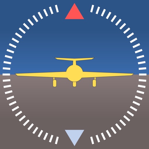
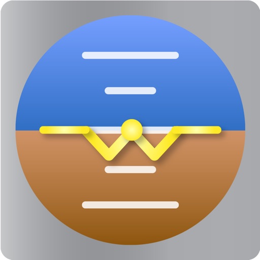
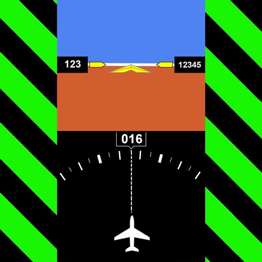
Provides a backup flight display with attitude indicator and heading indicator. Displays critical flight data during instrument failure. Allows pilots to monitor aircraft orientation and direction. Integrates with GPS for accurate navigation.
Navigation provides real-time positioning using iPhone/iPad sensors. Displays maps and routes. Offers -and- interface. Uses digital filtering and stochastic models for accuracy. Only functions in airplanes.
The app configures Levil devices and displays AHRS data. It shows graphical and numerical data from Levil AHRS devices, excluding iPad/iPhone internal gyros or GPS data.
Access real-time data and control virtual . Tune global aviation radios or create custom radio aids. Practice navigation techniques and use as a training tool or supplementary instrument during flights.
Track aircraft movements in real-time on a detailed map. View details including destination, aircraft type, and altitude. Use device camera to identify planes and check status. Receive alerts for changes and delays. Share data with others.
Plan flights with detailed weather data, airport information, and NOTAMs. Overlay georeferenced charts on aviation maps. Access IFR and VFR plates for over 200 countries. Manage and download airport plates in advance.
Track real-time positions and receive updates on status. View paths, altitudes, and speeds. Monitor family or friend flights for arrival and departure times. Set alerts for changes and airport pickups.
Track flights in real-time with radar maps worldwide. Identify aircraft by pointing your device at them. Monitor family and friend flights to coordinate airport meetings. View status and route details.
Track live air traffic with real-time updates on aircraft location, altitude, speed, and direction. Search for specific planes by identifier. View global paths and movement details. Receive instant notifications on status changes.
GPS tracks current speed, distance, and altitude. Displays average and maximum speed. Shows speed limits in real time. Supports mph, km/h, and knots. Measures travel time and battery level. Works offline.