The app configures Levil devices and displays AHRS data. It shows graphical and numerical data from Levil AHRS devices, excluding iPad/iPhone internal gyros or GPS data.
by Levil Technology★ 3.03 ratingsNavigationFreeData updated 2026-09-24
Control WWII airplanes with realistic flight mechanics and in-game tutorials. Complete missions to unlock content and progress through the campaign. Explore settings with detailed aircraft and mission-based objectives.
Calculate -related conversions, fuel consumption, and navigation metrics. Perform arithmetic operations and unit conversions. Track time, distance, and speed. Sync with Apple Watch for real-time updates.
Stream Christian music continuously without commercials. Listen to live broadcasts featuring artists like Chris Tomlin and Casting Crowns. Access community features to connect with others who share similar faith interests.
Displays real-time , time, distance, and trip statistics. Track average and maximum , moving and stopped time. Save aggregated trip data for future reference.
Measure geographical orientation with a precise . Display longitude, latitude, altitude, weather, and magnetic field data. Record location points and view saved travel history.
Measure direction and elevation with a digital compass and inclinometer. Access real-time GPS and map data. Navigate using location-based routes. Share coordinates and track movement history.
Capture aerial footage with real-time HD video feed. Adjust camera settings and control drone flight. Edit videos with improved interface and add music or templates. Share edited content directly.
SIR STUDYO BILGI TEKNOLOJILERI YAZILIM HIZMETLERI TICARET ANONIM SIRKETI
Fly real airplanes with all features unlocked
Play as a pilot in a realistic simulation with detailed cockpit controls and dynamics. Navigate virtual airports, manage in- tasks, and customize aircraft interiors. Unlock advanced features with a premium purchase.
View and download NOAA electronic navigational for offline use. Access in NOAA or ECDIS formats. Overlay NOAA weather for real-time conditions. Display buoys, beacons, lights, and natural/man-made features. Track radar and fog signals.
Simulate flight operations with detailed cockpit controls and real-life emergency scenarios. Manage engine systems, navigate using cartography tools, and complete missions to earn pilot rankings.
Manage paths to avoid collisions and guide planes to their destinations. Draw routes, upgrade airports, and purchase new aircraft. Track progress through increasing difficulty levels and manage resources to expand your fleet.
Measure altitude with accurate display. Track location without data collection or sharing. Customize background colors. Avoid obstructions for better GPS accuracy. No ads included.
Fly planes, pick up passengers, reach destinations
Simulate piloting with realistic mechanics. Navigate through skies, avoid obstacles, and land safely. Pick up passengers from airports and transport them to destinations. Manage in- tasks and maintain aircraft systems.
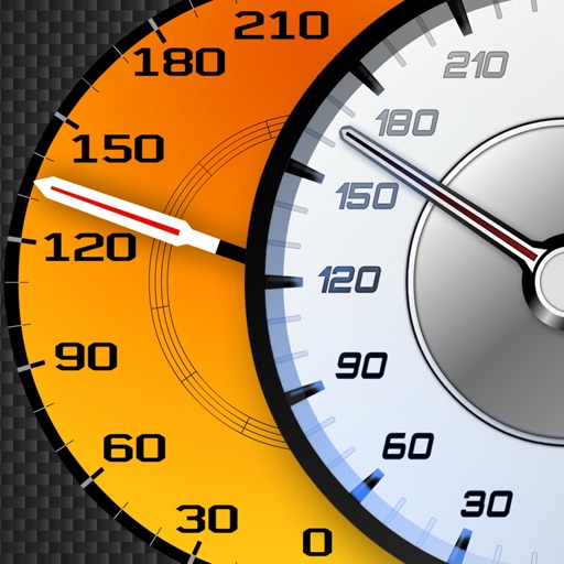
Track vehicle speed using GPS or simulation mode. View detailed speedometer displays with realistic graphics. Hear authentic engine during acceleration. Explore speed data from popular supercars.
Simulate FPV drone flights with realistic controls and environments. Practice freestyle tricks and techniques. Adjust camera angles and view live data. Connect to compatible goggles for immersive experience. Share recordings and replay sessions.
Navigation provides access to aeronautical charts including VFR Sectionals, IFR Enroute Low and High, TACs, Flyway, and IAPs. Users can view synthetic vision and fuel prices. Subscription includes advanced IFR data and APDs. Free trial available.