The app configures Levil devices and displays AHRS data. It shows graphical and numerical data from Levil AHRS devices, excluding iPad/iPhone internal gyros or GPS data.
by Levil Technology★ 3.03 ratingsNavigationFreeData updated 2026-09-24
The app measures the elevation of locations within a 500-meter radius using device sensors and internet-based geo information. It calculates altitudes in real time and displays them in meter or feet.
Displays current wind direction and speed, runway course, and cross, head, or tailwind components. It shows applied wind limits, forbidden wind angles, and a maximum wind speed table. Users can set up wind parameters for accurate flight evaluations.
The app allows real-time parameter adjustments for DJI A2 Flight Controller Systems and DJI Ronin and Ronin-M. It supports Bluetooth 4.0 and displays real-time flight data.
Watch live TV streams from global channels including movies, series, news, and sports. Add content to a watchlist and receive alerts when shows are available. Access sports events and documentaries. Sync across devices.
The app provides public transport routes and real-time data in select cities across Ukraine, Bulgaria, Croatia, Greece, Moldova, Serbia, and Turkey. It offers offline mode, route search, schedule information, and GPS tracking.
Play as a pilot with 96 aircraft types including props, jets, and helicopters. Fly in various weather conditions like fog, storm, and night. Complete missions between islands, cities, and carriers.
View radar data with high-resolution images and forecasts. Track severe weather patterns and receive alerts. Access professional tools like Triple/Quad View Radar Visuals for detailed analysis.
Simulate jet combat with realistic flight controls and detailed aircraft models. Perform carrier landings, engage in ground attacks, and conduct search and rescue missions. Avoid enemy missiles and radars.
Fly aircraft in realistic scenarios with multiple game modes. Perform takeoffs, navigate checkpoints, race through gates, transport cargo, fight fires, rescue survivors, and land precisely. Complete missions with challenging objectives.
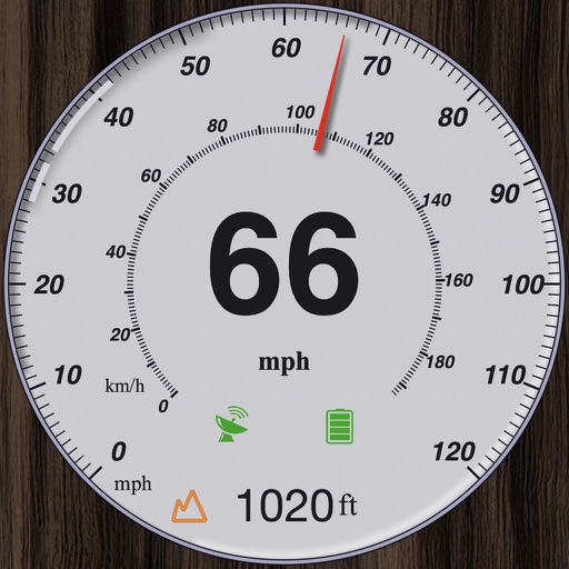
GPS measures and displays speed for walking, jogging, cycling, cars, boats, trains, and airplanes. Users can select display units and choose between two scales. Trip recording and average speed tracking are available.
Provides pilots with synthetic vision, TAWS, and VFR/IFR charts. It includes geo-referenced approach plates and ADS-B traffic monitoring. Users can transcribe and playback radio communications with speech recognition.
Access real-time buoy data for . Search by location, name, or region. View on a map and save favorites for quick access. Retrieve data offline when available.
Choose a motorcycle from major brands like Aprilia, Kawasaki, Honda, Ducati, Suzuki, MV Agusta, or BMW. Compete in races against real riders including Tom Sykes and Sylvain Guintoli.
Control the quadcopter via Wi-Fi using a joystick or gravity感应. View real-time camera feed, capture and review photos and videos. Enable automatic flight paths, voice commands, and gesture controls. Support VR mode for immersive viewing.
View global weather data from GRIB files including wind, precipitation, pressure, temperature, waves, and more. Overlay weather information on custom map locations. Watch animated weather maps. Analyze trends and save data for later reference.
Smartphone motorsports telemetry and video system.
The app transforms a smartphone into a motorsports telemetry and video system. It records lap times, video, and telemetry data, allowing for analysis and comparison of circuit laps.
EXTREMESOFT BILISIM REKLAMCILIK TICARET LIMITED SIRKETI
Fly cars, race in cyberpunk cities, drive
Play a car game set in a cyberpunk city. Control both car and airplane modes. Drive through endless aerial roads and mountainous terrain. Perform stunts and drifts. Accelerate sports cars and jet engines. Race against other players.