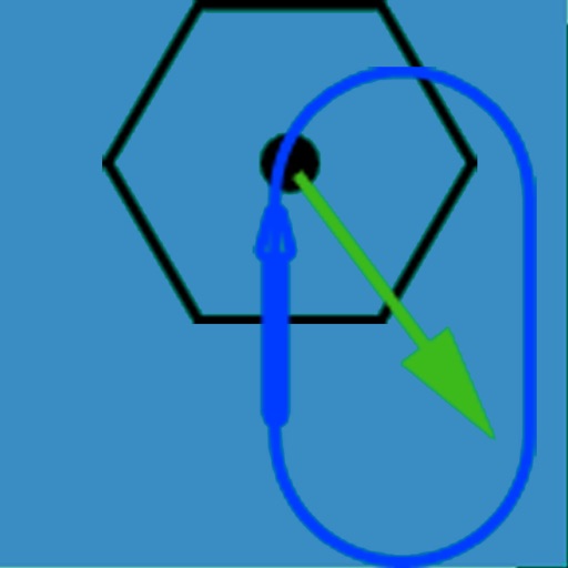
The app visually represents an aircraft and a holding pattern relative to a navigation aid. Users can learn to determine their position using ADF, VOR, and heading information, and identify correct entry patterns for standard and non-standard holds.
Track flights in real time with flight details, current location, and altitude. View aircraft models and speeds. Set alerts for specific flights. Share flight data via social media.
NAVITER - Informacijske tehnologije in druge storitve, d.o.o
Record flights and track your path
Record flight data using Bluetooth-connected instruments. Display live weather and traffic information. Provide guidance for safe landing approaches. Sync with external flight devices for real-time data sharing.
Monitor air pressure and altitude using built-in sensors. Track pressure changes to predict short-term weather shifts. Alert users about pressure impacts on migraines, headaches, and joint pain.
Create and manage travel tracks with waypoints. Import and export maps in .gpx format. Use with unlimited storage. Access background barometer and pedometer data. Display color gradients for speed and height.
Track speed with accurate GPS measurements and view average and maximum speed per trip. Choose units and monitor distance traveled and estimated travel time. Use turn-by-turn navigation to build routes.
Measure and analyze satellite signals using real-time spectrum analysis. Detect LNB skew and satellite position with GPS data. Communicate via Bluetooth with a patented device for signal measurement without additional equipment.