Track routes and save photos or videos taken during trips. Share live with friends. View real-time bearing and distance to waypoints. Join regattas and see racecourses. Monitor progress and save media alongside data.
Access charts, maps, weather data, and AIS information. Navigate with worldwide chart coverage from multiple providers. View real-time weather and track vessel position. Set waypoints and measure distances between points.
Race start timer vibrates and beeps every 30 seconds, with a 10-second final countdown. Displays current boat speed in knots. Uses digital crown to adjust countdown if missed. Allows setup of countdown from 1 to 10 minutes.
Plan and navigate boating trips with real-time tracking and high-resolution digital charts covering the US, Europe, and other regions. View vector charts with tappable buoys and lights. Pan and zoom seamlessly across maps.
Track speed using GPS with options for mph, km/h, and knots. Display city name and compass if enabled. Show traveled distance and optional average and maximum speed. Choose from multiple interface colors. Record speed during trips.
View real-time GPS location and track movement. Access marine charts, weather forecasts, and tide information. Plan routes with smart routing features. Set and monitor alerts. Share coordinates and waypoints.
Configure sailboat performance settings from 2-20kn and set start line, wind direction, and intensity. Track real-time GPS data during races and record performance continuously in the background.
The app provides detailed wind and weather forecasts for over 160,000 locations. It offers real-time measurements from 21,000 weather stations and tide forecasts for over 20,000 locations.
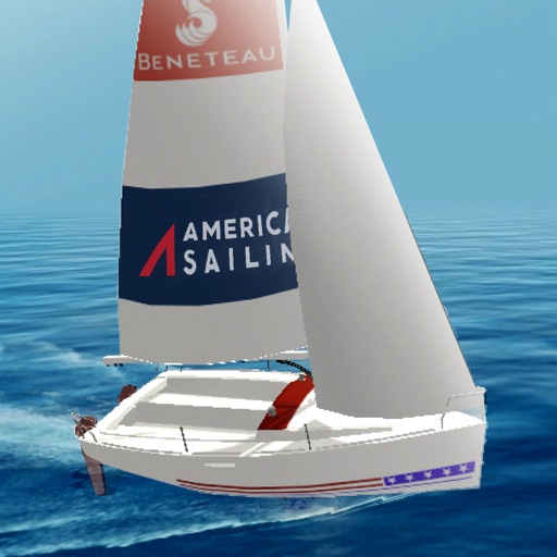
Learn fundamentals through six interactive modules covering Points of Sail, Apparent Wind, Sail Trim, Tacking and Jibing, Rules of the Road, and Docking. Practice skills in a timed course simulation to apply knowledge in a realistic environment.
Provides GPS altitude and pressure altitude readings. Displays speed in kph, mph, and knots. Measures barometric pressure in multiple units. Tracks acceleration in G forces. Shows location, magnetic, and true heading.
Access real-time weather data and live wind reports for sailing activities. View for racing, sailing, and cruising. Locate Tempest Weather Systems near shore markers, buoys, piers, yacht clubs, and waterfront areas.
Plan and navigate boating trips with real-time updates and high-resolution NOAA charts. View detailed digital vector charts for US coasts, inland waters, and Great Lakes. Tap buoys and lights for bearing and distance.
The app provides detailed wind and weather forecasts for over 160,000 locations. It offers current measurements, tide forecasts, and severe weather warnings for the US and Europe.
Water sports sessions with speed, distance, heart rate, wind, and stroke data. Log activities like sailing, wingfoiling, and kayaking. Analyze performance trends and monitor progress over time. Sync data across devices for consistent tracking.