Calculate distance, time, and fuel consumption using parameters like Mach number, TAS, ISA deviation, and wind components. Create and manage aircraft profiles with customizable fuel usage based on distance flown.
Track flights in real time with flight details, current location, and altitude. View aircraft models and speeds. Set alerts for specific flights. Share flight data via social media.
NAVITER - Informacijske tehnologije in druge storitve, d.o.o
Record flights and track your path
Record flight data using Bluetooth-connected instruments. Display live weather and traffic information. Provide guidance for safe landing approaches. Sync with external flight devices for real-time data sharing.
Calculate air , altitude, and other aviation-related metrics using temperature, altitude, humidity, and atmospheric pressure. Input data can be sourced from GPS, weather stations, or entered manually.
Measure and analyze satellite signals using real-time spectrum analysis. Detect LNB skew and satellite position with GPS data. Communicate via Bluetooth with a patented device for signal measurement without additional equipment.
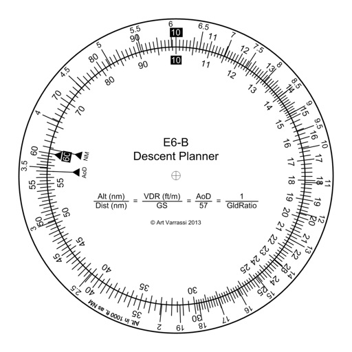
Calculate flight performance with wind and density altitude inputs. Perform fuel burn calculations and determine true airspeed. Convert units and view flight path diagrams. Save and share flight plans.