The app digitizes points, lines, and areas of interest on a map. Its point stakeout function uses GPS to guide users to target features, while the line stakeout function displays distance to a line or area for parallel movement.
The app offers over 25 categories and 450 units for conversion, including 150 currencies. It supports 24 languages and is designed for iPhone, iPad, and iPod touch.
The app provides automatic transliteration from English letters to Farsi script. It offers full text translation from Farsi to multiple languages and includes customizable themes and clipboard functionality.
Convert units across 30 categories with over 700 measurement options. Switch between light and dark mode. Use a backspace key for quick edits. Perform conversions with straightforward interface.
Measure direction and elevation with a digital compass and inclinometer. Access real-time GPS and map data. Navigate using location-based routes. Share coordinates and track movement history.
Pro displays a 3D floating with true and magnetic modes using a damped rosette-style ring. It shows local sun and moon positions that update in real time. Users can adjust settings and view directional data.
Enter MGRS or coordinate data to navigate to specific points. Adjust pace count and track deviations. View distance, speed, and angle settings in meters/km or feet/miles. Analyze movement patterns for navigation improvement.
View topographic of with detailed scale options and lake depth information. Access property data via in- purchase. Download for offline use. Navigate using precise map data and location features.
Calculate by entering speed and air temperature. Support units for air temperature including °C, °F, and Kelvin, and speed in mph, km/h, m/s, and knots. Include a temperature converter for unit conversion.
Display maps using GPS and MGRS coordinates. Measure distances and bearings between points. Save and share location data. View terrain and elevation details. Navigate with compass and grid alignment.
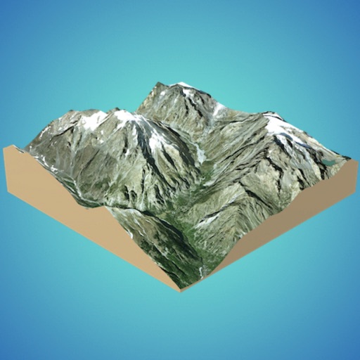
Create 3D models from online sources like Bing Maps or local cloud points. Export data as CSV, TXT, STL, or OBJ. Modify models by cutting, scaling, and animating. Calculate surface areas and volumes in real-world units.