
iPhone Screenshots
Description
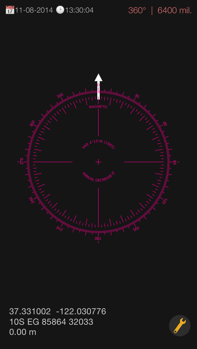
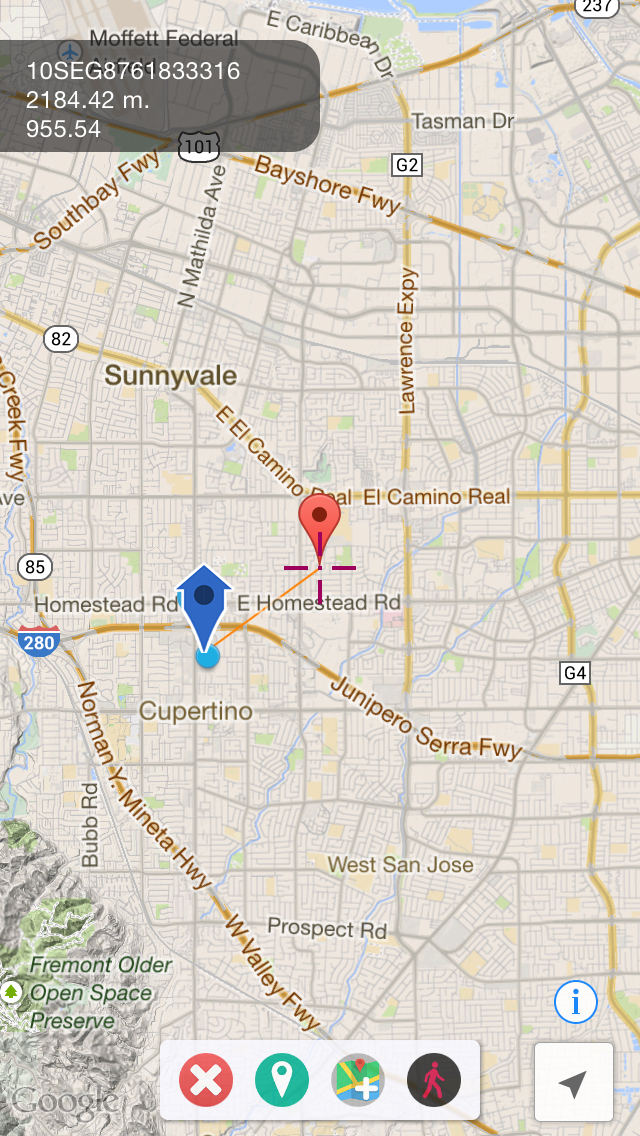
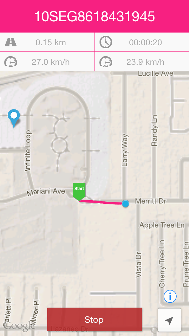
Display maps using GPS and MGRS coordinates. Measure distances and bearings between points. Save and share location data. View terrain and elevation details. Navigate with compass and grid alignment.
GPS for Latitude Longitude System, MGRS system
and Measure in map for distance and bearing
have a good work ,Soldier!!