
3D GIS Digital Elevation Model
Generate 3D models from internet or cloud
Andres Narvaez
iPhone Screenshots
Description
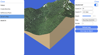
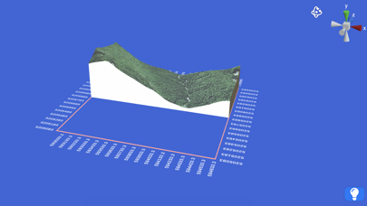
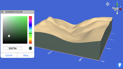
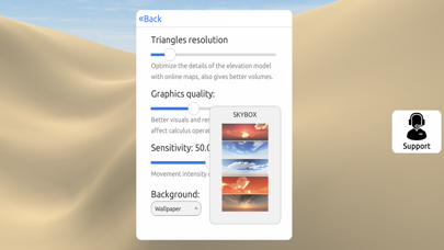
Create 3D models from online sources like Bing Maps or local cloud points. Export data as CSV, TXT, STL, or OBJ. Modify models by cutting, scaling, and animating. Calculate surface areas and volumes in real-world units.
Quickly generate 3D models:
Directly from the internet; Bing Maps, Mapbox, and ArcGIS or from a cloud point stored locally.
Export real data:
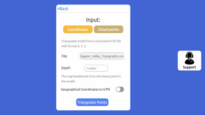
From point cloud data in CSV or TXT to 3D models in STL or OBJ and satellite images.
Operate:
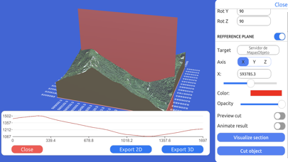
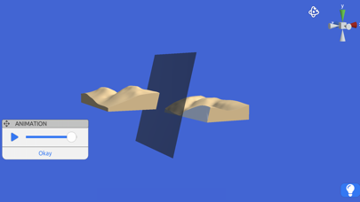
Cut, re-scale, and animate models for representation, analysis, and calculations.
Compute operations:
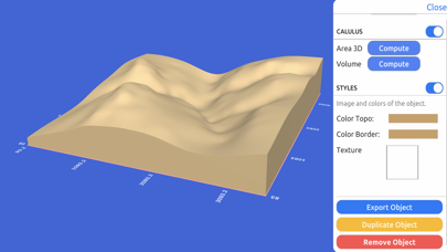
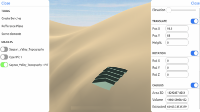
Calculate surface areas and volumes of a model in real-world units with little difference compared to ArcGIS.
Explore:
Character controller geo positioned in real-world coordinate systems such as UTM and Geographic Coordinate System.