

Apps Like GeoAce for iPhone and iPad
GeoAce screenshots
Ranked alternatives
Showing 161–180 of 1,000 ranked alternatives.

TYEarth
元荃 李
Import data and generate map files
Create and edit spatial data files using text or dBASE formats. Generate KML/KMZ files for map locations. Display icons, circles, cylinders, lines, and polygons. Add images with midpoint or corner points.


iGIS
Geometry
Mobile GIS functionality for the iPhone.
The app provides GIS functionality on the iPhone. Users can load, view, investigate, create, and export their own data over map service imagery.

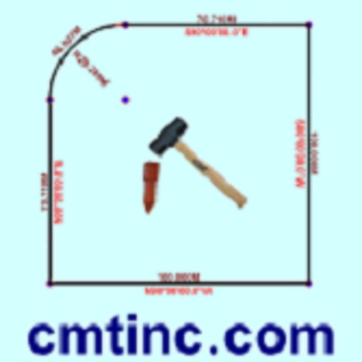
Deed Calls & Stakeout
Corvallis Microtechnology, Inc.
Convert property descriptions into maps.
The app converts real property descriptions into boundary maps, displaying angles, distances, closure error, area, and perimeter. It offers stakeout functions for deed plots and individual points, with optional navigation beeps and GPS toggling.




InterApp
InterApp Inc
Scan QR codes and view AR content
Interact with packaging, apparel, art, and print through augmented reality content like videos, photo galleries, and 3D models. Scan QR codes to access hyperlinks and animations. Share content via social media.




DWG FastView Pro-CAD viewer
Gstarsoft Co., Ltd
Edit drawings, view CAD files, and browse
View and edit 2D/3D DWG and DXF files without registration. Open large files offline. Create new drawings freely. Browse local storage directly. Edit and save drawings without internet.
Stakeout iCMT
Corvallis Microtechnology, Inc.
Digitize points lines and areas.
The app digitizes points, lines, and areas of interest on a map. Its point stakeout function uses GPS to guide users to target features, while the line stakeout function displays distance to a line or area for parallel movement.

Geopogo: Image to 3D
Geopogo Inc.
Create 3D models with AR without coding
Create interactive architectural presentations using augmented reality. Import 3D models from Revit, SketchUp, and Maya directly. Preview models in real-time with spatial awareness. Annotate and highlight key features for stakeholders.

FieldMove Clino
Petroleum Experts Limited
Record orientation and location data
Record orientation data of planar and linear features using GPS and orientation sensors. Measure bearings and inclinations. Save and export data for analysis. Sync with devices for fieldwork efficiency.
How we rank alternatives
Apps are ranked by functional similarity, category fit, rating confidence, and popularity.