
iPhone Screenshots
Description
Create and edit spatial data files using text or dBASE formats. Generate KML/KMZ files for map locations. Display icons, circles, cylinders, lines, and polygons. Add images with midpoint or corner points.
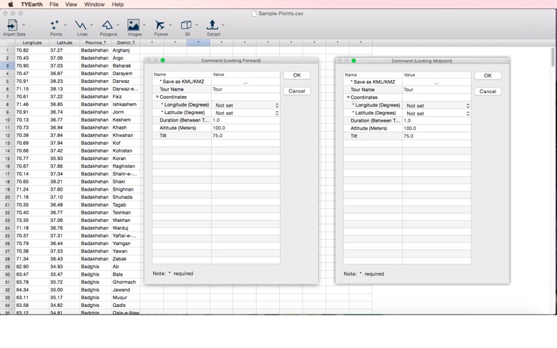
Use the TYEarth to read spatial data from the data sheet editor, and generate KML/KMZ files which illustrate the map locations, displays images, run flyover tours, and more.
Import Data
• Text (*.csv, *.txt)
• dBASE (*.dbf)
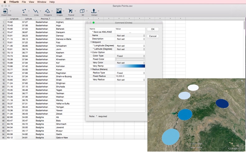
• Sample - Points
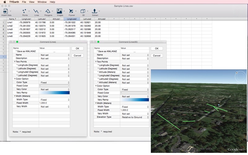
• Sample - Lines
• Sample - Polygons
Points
• Icons
• Circles
• Cylinders
Lines
• Lines
• Lines3D
Polygons
• Single Polygon
• Claims
Images
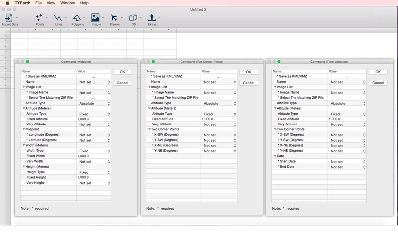
• Midpoint
• Two Corner Points
• Time Variation
Flyover
• Looking Forward
• Looking Midpoint
3D
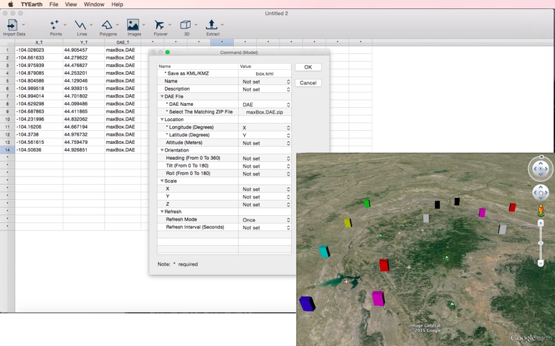
• Model
Extract
• Point Data