Create and edit spatial data files using text or dBASE formats. Generate KML/KMZ files for map locations. Display icons, circles, cylinders, lines, and polygons. Add images with midpoint or corner points.
by 元荃 李★ 0.00 ratingsProductivity$9.99Data updated 2026-09-09
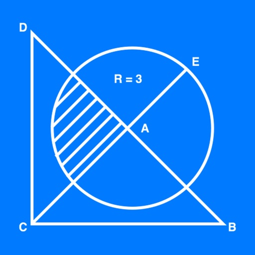
The app allows users to create geometrical figures, points, circles, and polygons. It can also create parallel lines, perpendicular lines, lines with a given angle, midpoints, and intersections.
Collect and map field data with customizable forms and attributes. Capture data offline or online. Transfer data to desktop GIS platforms. Edit and manage attributes directly in the field. Sync data with preferred GIS software.
Create spreadsheets using templates for budgets, invoices, and more. Use functions, draw with Apple Pencil, or write with finger. Add tables, charts, text, and images. Reorder columns and rows by dragging. Resize tables and double-tap to edit.
Edit files with trimming, splitting, and noise reduction. Convert between formats including MP3. Create custom ringtones from music or voice recordings. Share edited files directly to social media or messaging apps.
Allows users to take photos of math problems and receive step-by-step solutions. It can plot graphs of equations. Users can chat with an AI tutor for homework and assignment .
The app allows users to view GIS files, modify attribute tables, and add/edit points, lines, or polygons. It supports various import and export formats including shapefiles and DEM files.
Distances between two or more points on a map. Place markers to calculate straight-line distance. Sum total distance for multiple locations. View distance in kilometers or miles.
Calculates distances between map points and areas of non-overlapping polygons. Users can switch between metric and imperial units. Coordinates are displayed in decimal or degrees, minutes, and seconds.
Survey points, lines, and polygons with GPS tracking. Log full GPS data for fields. Create quickmarks during surveys. Visualize data in map view. Use internal or external GPS devices.
View and convert geographic across multiple formats and datums. Manage locations with an intuitive interface. Display current location at the intersection of two grey lines. Export in various global systems.
Scan documents quickly and to TXT, PDF, or JPEG formats. Save and organize scanned files. Share documents directly via email or messaging apps. Edit scanned images and add notes. Sync files across devices.
Record routes from specific locations to survey sites and display them on a map. Measure distances between coordinates or map points. Calculate areas using coordinate lists or map selections.
Display current location and customizable info on large text screens. Create waypoints using location, crosshairs, or coordinates. Organize waypoints into overlays and navigate to them with arrows or maps. Track movement and view location details.
Record location data including latitude, longitude, altitude, speed, and distance. Save logs in CSV, KML, GPX, TCX, FITLOG, and NMEA formats. Use Apple or Google maps. Enable background logging. Share files via AirDrop. Upload to iCloud Drive.
Distances and areas on satellite maps. Select points to calculate length or size. Save measurements and share results. Compatible with various map views and zoom levels.