Lengths and areas using your mobile device. Select from multiple measurement modes including point-to-point and area. Save screenshots or measurements for later. Change units of measurement as needed.
by RIEU Limited★ 4.6945 ratingsUtilitiesFreeData updated 2026-09-13
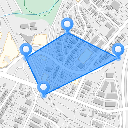
Measure areas and distances on maps by placing points and calculating the total or route length. Save and share specific locations as points of interest. Calculate GPS areas with high accuracy.
Measure areas and distances using GPS with real-time accuracy. Calculate land plots, fields, or property boundaries in multiple units including square meters, square feet, and acres. Add multiple points on a map to define custom shapes.
Measure using AR and TrueDepth sensor technology. Place device at eye level, follow on-screen prompts, and receive accurate PD measurement. Save and share results for eyewear purchases or customization.
Objects and spaces using augmented reality. Tap to place a virtual and get precise distance readings. Share measurements directly or save them for later reference. No physical tools required.
Calculates distances between map points and areas of non-overlapping polygons. Users can switch between metric and imperial units. Coordinates are displayed in decimal or degrees, minutes, and seconds.
Measure light levels using aperture and shutter priority modes. Select ISO, aperture, or shutter speed values. Switch between priority modes based on camera settings. Use front or back camera for light measurement.
Measure areas using GPS or manual map points for accurate calculations. Switch between and distance modes. Save measurements for later access. Use compass navigation for directional guidance.
Convert values between units in 22 categories including acceleration, angle, area, and data storage. Support currency exchange for 160 currencies. Search units by category or globally. Bookmark frequently used conversions.
Measure distances with a digital measuring tape. Calculate angles using a protractor tool. Adjust and calibrate measurements for precision. Save and share measurement data directly.
Areas using GPS coordinates or manual input. Calculate land, property, or dimensions. Save and export measurements in various formats. Sync data across devices for accurate tracking.
Displays real-time traffic and satellite views. Shows current location and allows address input. Measures land area and calculates radius and corners. Shares location via email, SMS, or social networks. Auto-updates direction based on movement.
Object lengths using Augmented Reality. Point the device at an object to get precise measurements. Save and share results. Works with ARKit for accurate tracking.
Calculate altitude using GPS, ASTER, or barometer (iPhone 6 and later). Display average altitude from GPS and ASTER data. Show peaks, compass, and distance grid on an integrated map. Support Apple Watch. Choose unit of measurement.
Calculate object weight using AI by taking a photo. Track measurement history for reference. Share weight data via email or messaging. Sync measurements across devices.
Use augmented reality to areas like fields, plots, parking lots, or properties. Tap to place markers and calculate distances. Export measurements to Map Pro or WheelitOff for further use. Accuracy improves with lidar-enabled devices.
Land measurement tools allow precise and distance calculations on maps. Coordinate capture enables adding multiple coordinates to maps. Map exploration includes zooming, panning, and layer management.