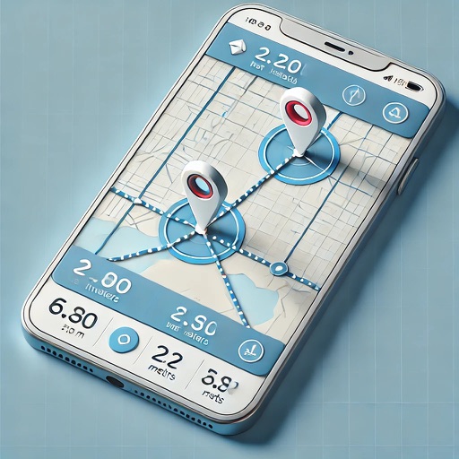
Land and distances using GPS by marking points on a map. Calculate field size, plot dimensions, and property boundaries. Save and share measurement data. Sync with other devices for accurate field surveys.
The app measures distances, perimeters, and areas with precision over satellite images. It calculates surface areas, dimensions for fencing, and more without needing to be on location.
Measure distances using augmented reality or direct phone contact. Calculate surface areas and angles. Create floor plans and save measurements. Share results via email or messaging.
Distances, perimeters, and areas using GPS. Place markers on or objects. Share results with colleagues. Calculate quantities like spray or fertilizer needed. Export measurements for record-keeping.
Measure distances, perimeters, and areas by placing pins on a map. Calculate dimensions and save measurements. Share results via email or export as a file. Sync with other devices for collaborative projects.
Measure distances, land areas, and perimeters using satellite maps. Calculate perimeters and track outdoor projects. Measure routes for biking, golfing, or racing. Save and share measurement data.
Measure distances by drawing routes on the map and calculating their length. Use a magnifier tool for precise line drawing. Switch between Move and Measure modes to set starting points or begin measurements immediately.
Distances and areas on satellite maps. Select objects like lawns, roads, and buildings. Save and share measurements. Export data in various formats. Sync with other apps for project planning.
Land areas using GPS and map data. Draw boundaries with swipes to calculate plot size. Save and view measurements. Share results via email or messaging. Sync with other devices for accurate tracking.
Distances and areas on satellite maps. Select points to calculate length or size. Save measurements and share results. Compatible with various map views and zoom levels.
Distances between two or more points on a map. Place markers to calculate straight-line distance. Sum total distance for multiple locations. View distance in kilometers or miles.
Distances and angles using augmented reality and on-screen rulers. Tap to mark points and calculate lengths. Export measurements as text or image. Sync with other devices for collaborative projects.
Lengths and areas using your mobile device. Select from multiple measurement modes including point-to-point and area. Save screenshots or measurements for later. Change units of measurement as needed.