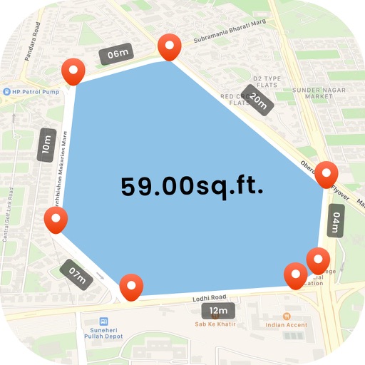
Measure areas and distances using GPS with real-time accuracy. Calculate land plots, fields, or property boundaries in multiple units including square meters, square feet, and acres. Add multiple points on a map to define custom shapes.
by Adheera Infotech★ 0.00 ratingsProductivityFreeData updated 2026-09-06
Arthur Eduardo Skaetta Alvarez Desenvolvimento de Software LTDA.
Distances and areas with GPS
Distances and areas using satellite images. Tap the map to add markers and calculate distances or enclosed areas. Search for addresses to locate measurement points. Support multiple units including square feet and square meters.
Measure land , distance, and perimeter using real-time GPS. Mark points on a map to calculate fields, plots, and paths. Switch between and distance modes. Supports units like acres, hectares, and square feet. Save and export data.
Land, fields, and property using GPS or manual input. Place markers on the map or walk boundaries to calculate , distance, and perimeter. Choose units like square meters or square feet. Save and share measurements.
Measure distances between objects and calculate areas using GPS. Select units in Imperial or Metric systems. Determine property lines and export measurements in square feet, acres, or kilometers.
Convert across categories including length, area, mass, temperature, volume, density, and flow rates. Switch between like km to miles or Celsius to Fahrenheit. Calculate torque and viscosity values. Export results and share conversions directly.
Scan surroundings using the device camera to create real-time 3D floorplans. Add measuring points to calculate distances, lengths, surfaces, and areas. Export plans with measurements in PDF format.
Measure land , distance, and perimeter using GPS and satellite maps. Define boundaries by placing points or walk the perimeter for hands-free tracking. Save and export measurement data for professional use.
Calculate area for , rectangular, triangular, circular, trapezoidal, or elliptical spaces. Input dimensions to get feet, meters, or yards. Estimate material costs based on price per 100 units. Export results for project planning.
Distances, perimeters, and areas using GPS. Place markers on or objects. Share results with colleagues. Calculate quantities like spray or fertilizer needed. Export measurements for record-keeping.
Measure objects by aligning them with the screen. Calculate furniture sizes for space planning. Use AR to scan rooms and get perimeter and square footage.
Calculate materials with 10 tools for gravel, soil, mulch, concrete, pavers, retaining walls, grass seed, sod, area, and volume. Input dimensions in inches, feet, yards, centimeters, or meters. Output results in US customary or metric units.
View boundaries, parcel data, and land information using GPS. Check ownership details, lot lines, and classifications. Access nationwide coverage and accurate positioning for real-time land verification.
Measure areas using map, GPS tracking, or AR. Draw shapes on the map for rough estimates. Track GPS routes for precise measurements. Use AR to measure rooms or objects by placing virtual markers. Export results and share data.
Calculate volume for slabs, footings, columns, walls, and stairs in cubic yards, feet, or meters. Estimate needed, determine weight and bag requirements. Calculate rebar spacing and truckloads.
Calculate land using GPS coordinates. Draw shapes on maps to fields or plots. Add GPS stamps to photos with location, time, weather, and compass data. View live maps and magnetic information.