
Apps Like Now Altimeter for iPhone and iPad
Now Altimeter screenshots
Ranked alternatives
Showing 661–680 of 1,000 ranked alternatives.


Swiss Dive
Plurial Method Visions Sarl
Georeferencing diving sites across Switzerland.
The app georeferences approximately 600 diving sites in Switzerland, including lakes and rivers. It also locates registered specialized shops, diving schools, diving clubs, and inflating stations.
Étoile d'Aï
Senten Sarl
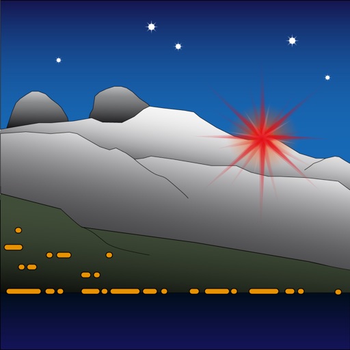
Modify landscape by changing light color.
The app allows users to modify the landscape by changing the color of the light. It represents Étoile d'Aï, a light located in Switzerland at an altitude of 2048 meters.

Tracker for Air India
fikret urgan
Track flights, view models, and check speeds
Track Air flights in real-time with flight details, radar views, and global flight paths. Search for specific aircraft, view live positions, and access historical flight data.

ISS Tracker - Live Position
Lucent Enterprises Ltd.
Track the ISS and view its orbit
Monitor the International Space Station with real-time tracking on an interactive world map. View current altitude, velocity, and orbital period. Access precise latitude and longitude coordinates. Choose between standard and satellite map views.




Meridian / JetProp Torque
InfoPogo, Inc.
Calculate flight metrics instantly
Calculate max speed cruise , true airspeed, pounds per hour, and NM/pound based on altitude and outside air temperature. Input values for Piper , M600, M700 Fury, and DLX aircraft. Reference performance tables and figures from specific POH sections.

Altitude Compass
锦滔 欧
Measure and track location
Provides real-time , atmospheric pressure, latitude, and longitude data. Users can switch between GPS and device altimeter for readings. Camera integration allows photo capture with location data overlay.

ADK 46er Now
One Bad Ant
Climb peaks, track progress, share routes
Plan hikes and summit attempts with detailed trail maps and elevation data. Track progress on each peak with logging and completion status. View real-time weather conditions and safety alerts for hiking areas.

Ultramagic FlightPack
Ultramagic, S.A.
Track flights with offline maps and weather
GPS track with color-coded altitude layers to identify wind patterns. Crew members view real-time flight tracking on a webpage. Includes offline maps, weather forecasts, load calculations, and a flight logbook.

How we rank alternatives
Apps are ranked by functional similarity, category fit, rating confidence, and popularity.