Track flights by logging and improving them using Vario with sensor fusion and sound alerts. Monitor ground speed, altitude, wind speed, and direction. View live maps and fly with friends. Sync with Apple Watch.
Navigate using real-time maps and flight tracking. View weather data and airspace restrictions. Log flight details and share them with pilots. Set waypoints and monitor altitude. Sync with GPS devices and receive turn-by-turn guidance.
Track flight paths and waypoints. Display real-time GPS data and altitude. Set navigation targets and receive turn-by-turn guidance. Monitor weather conditions and air traffic. Save and share flight logs. Sync with external devices for telemetry.
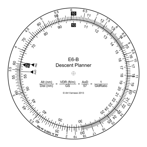
Provides flight data management with downloadable weather briefings and dual data cycle support. It includes a glide ring for descent planning and a collapsible navlog for airway and procedure tracking.
Track aircraft movements in real-time on a detailed map. View details including destination, aircraft type, and altitude. Use device camera to identify planes and check status. Receive alerts for changes and delays. Share data with others.
Record flights with high precision and share live location updates. Track nearby friends and receive automatic emergency alerts. Use a variometer for altitude changes and view 3D IGC replays.
Display current location and customizable info on large text screens. Create waypoints using location, crosshairs, or coordinates. Organize waypoints into overlays and navigate to them with arrows or maps. Track movement and view location details.
Plan hunts by viewing species distribution and 3D . Access units and land boundaries. Save offline and mark waypoints. Track weather conditions and property lines. Use satellite, lidar, and hybrid basemaps for terrain analysis.
Track , distance, and direction with a digital and analog . Set custom distance values. Switch between portrait and landscape modes. Display in MPH, KM/H, and KNOTS. View altitude, maximum , and average with the Pro Pack.
Calculate -related conversions, fuel consumption, and navigation metrics. Perform arithmetic operations and unit conversions. Track time, distance, and speed. Sync with Apple Watch for real-time updates.
GPS tracks current speed, distance, and altitude. Displays average and maximum speed. Shows speed limits in real time. Supports mph, km/h, and knots. Measures travel time and battery level. Works offline.
Track speed and distance in miles and kilometers. Monitor real-time speed and display maximum and average speeds. Check speed limits and receive warnings for speed and red light cameras. Access offline maps and view weather conditions.
Race against opponents in a sky adventure. Control flight direction and speed. Unlock new levels and customize appearance. Compete in timed challenges and track progress. Share achievements on social media.
Plan flights with vector charts, dynamic airspace clipping, and customizable map layers. Create routes by selecting waypoints and adjusting paths. View real-time radar data for situational awareness during flights.