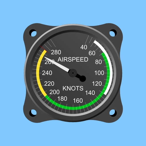
Track flight altitude, speed, and heading in real time. Monitor waypoint progress and adjust flight path remotely. Control simulated flights via plugin integration. View navigation data wirelessly from a mobile device.
Stream real-time sensor data to ROS 2 systems using the Zenoh protocol. Publish native ROS 2 messages compatible with rmw_zenoh_cpp. Supports 12 sensor types including IMU, GPS, LiDAR, and thermal. Works with ROS 2 Humble and Jazzy distributions.
The app calculates sunrise and sunset times during flight. It manages timings for prayers and fasting, providing predictions along the shortest route corrected by flight altitude.
Log time segments and calculate total time with Time. View block and duty intervals to manage scheduling. Perform preflight performance checks using aviation-specific calculations.