Access real-time weather data and live wind reports for sailing activities. View for racing, sailing, and cruising. Locate Tempest Weather Systems near shore markers, buoys, piers, yacht clubs, and waterfront areas.
Check current and forecasted conditions by the hour for the next ten days. View temperature, rain, snow, and wind details. Use maps to explore local patterns. Receive alerts for adverse conditions. Sync favorite locations across devices using iCloud.
Track weather conditions at fishing locations using real-time observations and . Access local weather data from Tempest Weather Systems and government sources. View Nearcast predictions and supplement with reports from AWOS, ASOS, METAR, and NWS.
The app provides Suncoast weather information including an interactive radar map, current conditions, and a 10-day forecast. Users can access station content, view future radar, and receive severe weather alerts from the National Weather Service.
The app displays a satellite map of dropzones. It shows current windaloft and surface winds, a range of the user's parachute, and a safe jump run exit area.
View real-time images for rain, snow, and mixed precipitation. Receive severe alerts. Get 24-hour precipitation forecasts. Access satellite cloud cover imagery. Select from standard, hybrid, or satellite map backgrounds.
View live weather radar and satellite imagery. Track precipitation types and lightning. Access high-resolution forecasts using advanced models. Set location-based alerts. Share weather data with others.
Access real-time data for Cleveland, Akron/Canton, and the Greater Cleveland area. View HD radar with 250-meter resolution and future radar predictions. Receive severe alerts and check extended forecasts from local meteorologists.
Provide real-time wind and forecasts for kiteboarding and kitesurfing locations. Track live wind reports at specific spots like buoys and piers. Access detailed local data for rivers, lakes, and coastal areas. Share forecasts with other riders.
View real-time flight conditions and site information. Explore launch and landing sites globally. Access weather forecasts from multiple providers. Watch live webcams and view photos of locations. See valley wind patterns with directional arrows.
Tap on a map to view spot-specific forecasts. Check , sky, wind, and wave conditions. Access severe advisories and offshore zone summaries. View hourly tides and interactive tide graphs.
Track live activity and view real-time weather updates with radar. Receive warnings and follow development paths for current and upcoming events. Monitor severe weather patterns including hurricanes, tornadoes, and typhoons.
View tidal estimates, lunar data, and weather forecasts. Check current radar for real-time conditions. Select stations via map or favorites. Track changes over time with historical data. Share forecasts with others.
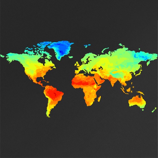
View global weather data with interactive map panning and zooming. Switch between weather layers for current and forecasted conditions. Track detailed weather changes up to 0.25 degrees on land or sea.
Displays current with minimum and maximum temperatures. Shows 72-hour and 10-day forecasts for global cities. Automatically detects location. Includes animated satellite maps with wind, rain, temperature, and cloud layers.
Access real-time buoy data and 5-day forecasts from NWS. View 6-hour wave trends and 7-day hourly wave and tide predictions. Overlay NOAA maps and check offshore zone forecasts. Receive detailed NWS discussions and use the Apple Watch for alerts.