Apps Like Agro Measure Map Pro for iPhone and iPad
Measure distances, perimeters, and areas.
The app calculates surface areas, fields, plots, and dimensions for various field work needs. It measures distances, perimeters, and areas with precision over satellite images.
by Blue Blink One, SL★ 4.523 ratingsUtilities$74.99Data updated 2026-11-12
Navigation allows users to view detailed maps with higher resolution and more street names. Display four times more map content on the screen. Includes sharper satellite imagery and points of interest. Adjust map scale for comfort.
Use to measure objects in real time with accurate centimeters, inches, and meters. Tap to measure distances, take unlimited readings, and view real-time AR visuals for precise results.
The app provides auto navigation for the current location and allows users to create routes on Google Maps. It includes the latest street view, traffic data, and four map types.
Distances and heights using the camera. Calculate surface area and perimeter. Generate 3D models from photos. Use a bubble level and slopes. Perform various geometric calculations with precise camera-based measurements.
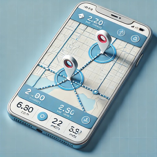
Measure distance by dropping pins or drawing paths on a map. Calculate total distance and segments between locations. Search and auto-complete locations. Use current location. Save and share custom maps. View Standard, Hybrid, or Satellite map types.
The app organizes tasks, notes, and routes around locations on a map. It connects information to places, offering structure without complexity for various uses.
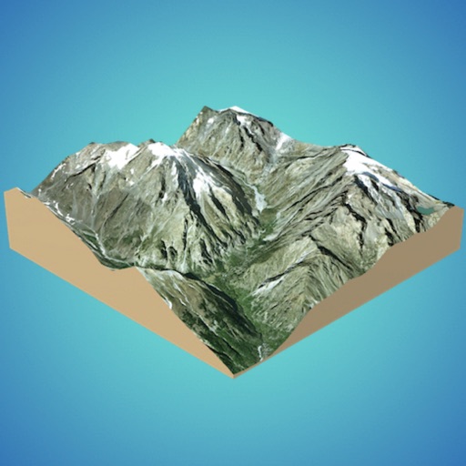
Create 3D models from online sources like Bing Maps or local cloud points. Export data as CSV, TXT, STL, or OBJ. Modify models by cutting, scaling, and animating. Calculate surface areas and volumes in real-world units.
Explore detailed worldwide and topographic contour for outdoor navigation. Access offline without data roaming. Use voice-guided routing and view travel guides. Unlock unlimited offline with an in- purchase. Always access Africa Standard for free.
Distances on maps by tapping to add route points. Calculate length of roads, buildings, or areas. Get accurate calculations without needing existing routes or ground features.
Measure pétanque distances automatically and easily.
The app measures distances between boules and the jack in pétanque games. It uses visual recognition to locate objects after a picture is taken, displaying rankings in real-time with optional manual adjustments.
Turn your phone into a with precise inclination measurement. Use camera integration to measure lengths and angles. Adjust settings for different leveling tasks and save measurements for future reference.
The app measures length, perimeter, and area on a map using an interactive crosshair. Users can trace map features, and dimensions update continuously.
Measure objects and spaces using a smartphone camera. Capture images of properties to calculate distances, perimeters, and areas. Export measurements and share results directly. Sync data across devices for accurate project tracking.