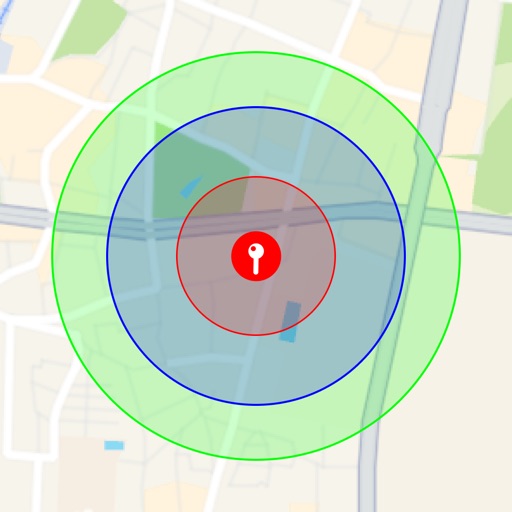
Measure distances, remember locations, get headings.
The app measures distances, remembers locations, and provides magnetic headings between selected points. It displays coordinates in decimal degrees and degree minute second formats, and allows users to save locations with custom names.
by Digilog Corporation★ 0.00 ratingsNavigation$4.99Data updated 2026-11-04
The app provides tools for geocaching, including waypoint calculations like coordinate conversions and projections. It also offers text calculations based on character values and hint decryption.
Access offline topographic of New Zealand. Download and manage to conserve storage. Locate DOC huts, campsites, and hunting areas. Search for named locations. Import GPX routes and share via AirDrop. Measure distances on .
The app calculates distances and bearings between two points using latitude and longitude. It can also determine a final position from a starting point, distance, and bearing.
Visualize around map pins to compare distances. Set up to three per pin. Search locations and check nearby points of interest. Switch between standard and satellite map views. Automatically save pins for future reference.
Customize dashboards with configurable gauges like speedometer, odometer, GPS altimeter, barometric altimeter, accelerometer, artificial horizon, compass, and elapsed time. Swipe to switch views and access real-time sensor data from iPhone or iPad.
Plan and navigate boating trips with real-time updates and high-resolution NOAA charts. View detailed digital vector charts for US coasts, inland waters, and Great Lakes. Tap buoys and lights for bearing and distance.
Plan and navigate boating trips with real-time tracking and high-resolution digital charts covering the US, Europe, and other regions. View vector charts with tappable buoys and lights. Pan and zoom seamlessly across maps.
Find bus arrival times and routes using real-time data. View bus locations on a map with accurate estimated arrival times. Bookmark and organize preferred agencies and routes. Compare wait times at stops versus nearby amenities like coffee shops.
Calculate land area using coordinates or map points. Measure distances between locations. Set property prices based on area. Export measurements and save data for reference.
Allows users to navigate job sites in real time, perform site checks, and capture 3D models. It enables teams to access shared data, track progress, and collaborate remotely.
Manage waypoints by creating, storing, editing, and organizing them. View detailed fishing maps for accurate charting. Sync data with devices. Log favorite fishing spots and plan trips. Share waypoints across devices.
Access depth and marine charts for USA, Canada, UK, and other regions. Locate spots with AI-driven breakline analysis. Create or import boating routes with GPS and voice navigation. View HD bathymetry and sonar contours for precise planning.
Offers real-time transit data and an official CTA map. Users can search routes, view transfer options, and check travel time, fare, and distance. The provides details on nearby attractions and current navigation updates.
Displays device location as a plane with speed, direction, altitude, and geo data. Allows adding markers at specified distances or times along the flight path. Tracks movement on the map.