Apps Like Propeller Mobile: 3D mapping for iPhone and iPad
Navigate sites, capture data, share updates
Allows users to navigate job sites in real time, perform site checks, and capture 3D models. It enables teams to access shared data, track progress, and collaborate remotely.
by Propeller Aerobotics Pty Ltd★ 4.69 ratingsUtilitiesFreeData updated 2026-09-06
Distances, perimeters, and areas using GPS. Place markers on or objects. Share results with colleagues. Calculate quantities like spray or fertilizer needed. Export measurements for record-keeping.
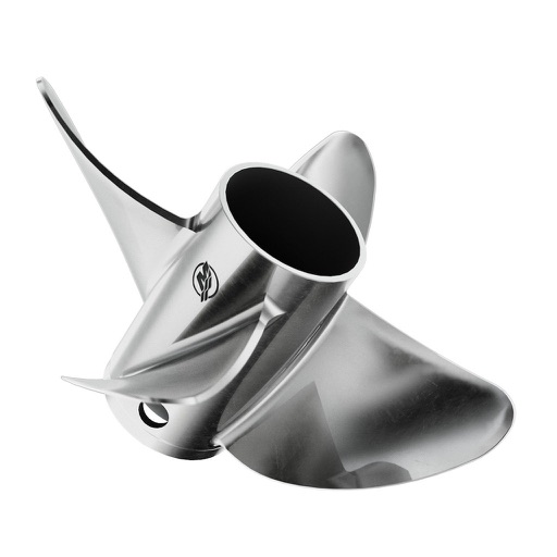
Calculate pitch, gear ratio, RPM, slip, and speed by inputting any four variables. Toggle to select the parameter to compute. Provides precise mechanical and propulsion-related calculations.
Create and manage custom and database apps without technical expertise. Collect data in real-time via smartphones and tablets. Deploy to a workforce and access through a account.
Manage construction projects with real-time access to project data, task tracking, and document sharing. Collaborate with teams through messaging and file uploads. Monitor budgets, schedules, and progress with customizable reports and notifications.
Create and share documents, task lists, and notes with team members. Collaborate in real time on spreadsheets, slides, and text. Integrate chat for communication. Sync across Mac, iPad, and iPhone. Organize projects and track progress within the .
Manage operations with real-time order notifications, product updates, customer information, and shipping label printing. Create and track invoices, send them, and monitor payments. Accept secure in-person payments using mobile payment solutions.
Measure distances using augmented reality or direct phone contact. Calculate surface areas and angles. Create floor plans and save measurements. Share results via email or messaging.
Manage projects with task tracking, document sharing, and real-time collaboration. Access blueprints, schedules, and change orders. Receive notifications and update project status. Sync with Build and BIM Collaborate.
Plan and execute drone flights with pre-programmed missions. Capture and view high-resolution aerial images and videos. nd share interactive maps, orthomosaics, and 3D models. Manage data and settings directly from the mobile device.
Manage construction sites with real-time cut-fill data and measurement capture. Generate topo surfaces and verify earthmoving volumes. Track progress and collect as-built data for quality control.
Record issues with titles, assignees, and notes. Capture photos or videos of problems. Generate custom reports and share findings directly. Track progress and manage tasks across projects. Sync data in real time across devices.
Create intelligent sketches and drawings with layer management. Add markup for communication. Work through all design phases with fluid tools. Support for architectural and industrial design workflows.
Calculate using coordinates with options for square meters, feet, acres, hectares, kilometers, and miles. Measure distance between points. Premium users can save areas, add notes, attach images, and calculate prices based on values.
Create precise measurements from phone scans or blueprint uploads. Perform takeoffs for roofing, siding, and interiors. Generate estimates and proposals. Track project progress visually. Connect project steps from initial contact to final contract.
Determine using GPS, barometer, or location input. View data on interactive maps. Access real-time altitude readings. Compare changes across locations. Save and share measurements.