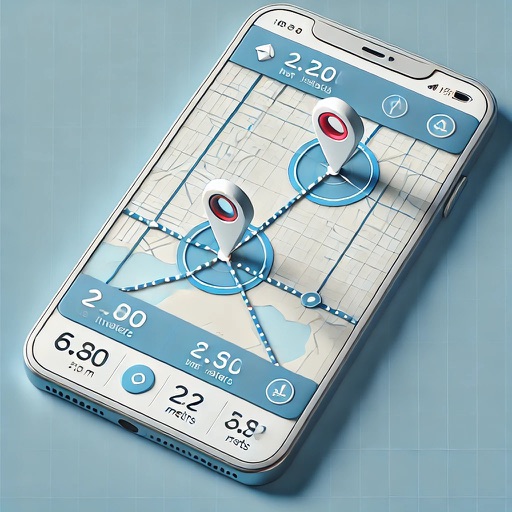
Apps Like GPS Area Measure: GLandGo for iPhone and iPad
Measure land and distance
Measure land , distance, and perimeter using GPS. Create projects, add team members, and sync measurements in real time. Set permissions for different roles and collaborate on shared projects. Export data and view detailed reports.
by 4Digsoft Technology Limited★ 4.632 ratingsUtilitiesFreeData updated 2026-09-06
Measure size with a smartphone camera using guided steps. Select from US, UK, or EU sizing standards. Save previous measurements for future reference. Share results directly with retailers or jewelers.
Use augmented reality to areas like fields, plots, parking lots, or properties. Tap to place markers and calculate distances. Export measurements to Map Pro or WheelitOff for further use. Accuracy improves with lidar-enabled devices.
Navigate using a 3D map with interactive routes. real-time imagery of any location. Calculate distances and areas between points. Explore landmarks and locations globally.
Capture GPS coordinates with a simple interface. Add descriptive notes to each location. Export data in multiple formats. Sync with Geographic Information Systems for mapping and analysis.
Distances with millimeter precision using or TrueDepth camera. Tap to place markers and view real-time measurements. Save and share measurement data. Export as PDF or image.
Distances, areas, perimeters, angles, and circle parameters using photos. Define measurement planes in 3D space. Adjust for non-parallel planes. Export measurement data. Share results directly.
Record photos and videos with real-time data overlays. Use augmented reality for navigation. Access proven navigation and image processing technologies. Capture geospatial data during recordings. Share media with embedded location and time stamps.