
iPhone Screenshots

iPad Screenshots

Description
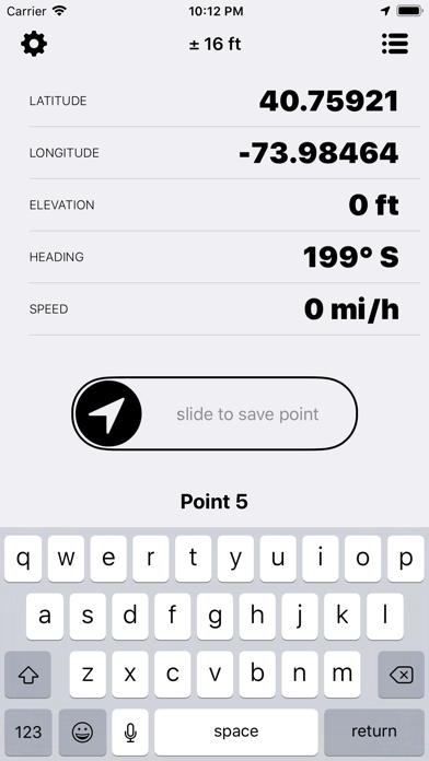
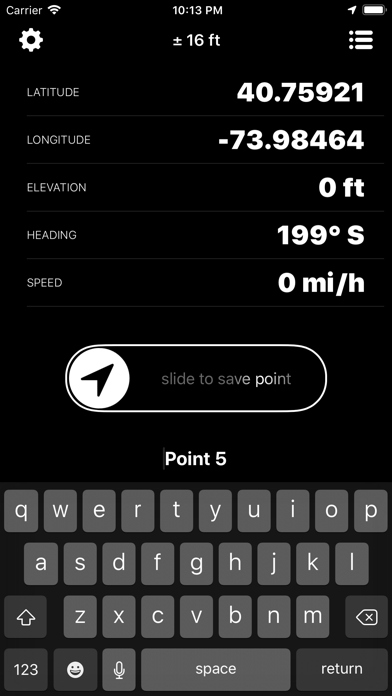
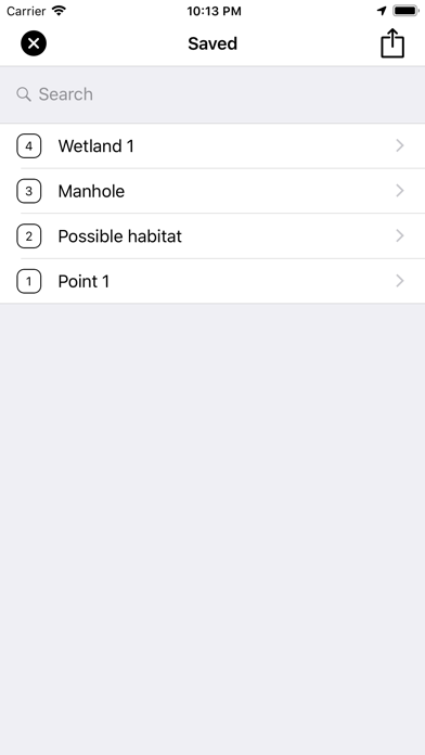
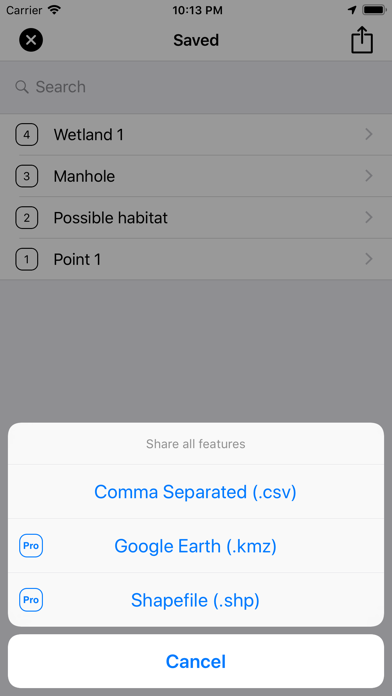
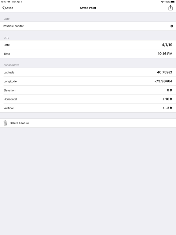
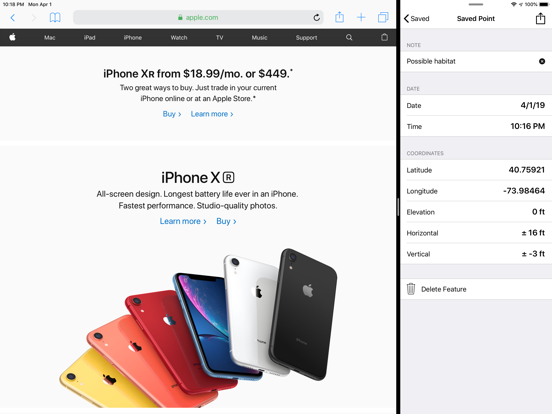
Capture GPS coordinates with a simple interface. Add descriptive notes to each location. Export data in multiple formats. Sync with Geographic Information Systems for mapping and analysis.
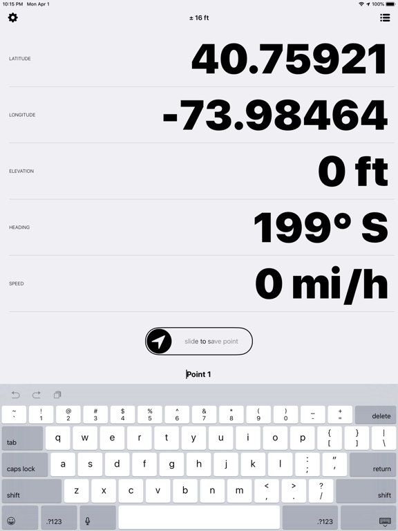
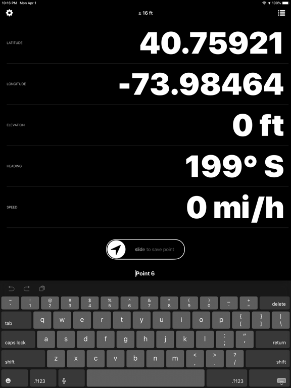
The GPS App simplifies the process of collecting GPS coordinates in the field. Easily capture and describe coordinates for later export in a variety of formats by utilizing a simple and straightforward user interface.
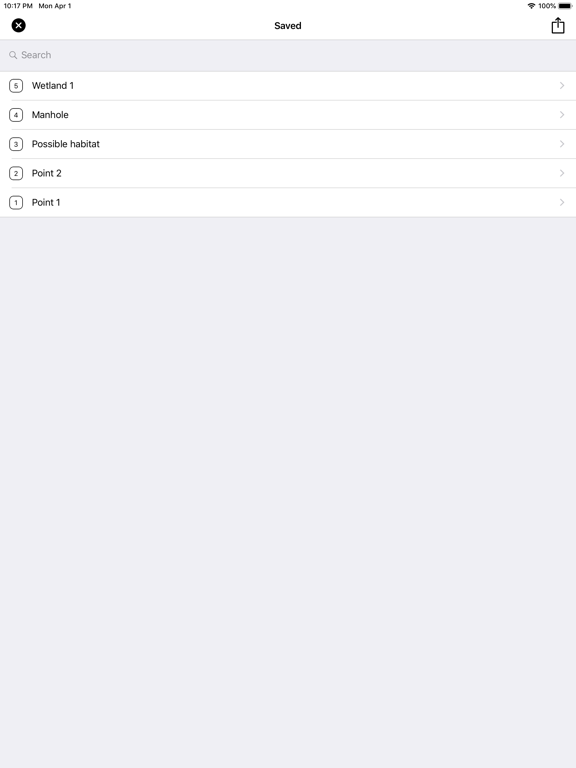
The GPS App is ideal for the those that need to capture an accurate location, collect some notes, and get that information back to the office without having to learn a complicated workflow. The app has been designed from the ground up for use with Geographic Information Systems (GIS), AutoCAD, and Google Earth.
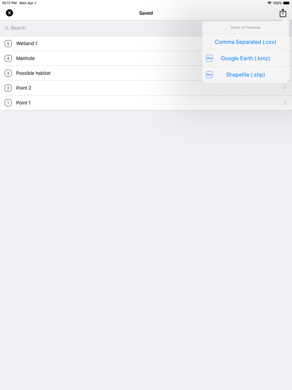
- (Free) Export comma separated (CSV)
- (Pro) Export Google Earth (KMZ)
- (Pro) Export Shapefile (SHP)
App information from Apple App Store. The GPS App and related trademarks belong to BJC, LLC.