Create and share photo collages with customizable layouts. Import photos from iPhoto, Aperture, or drag and drop images. Export high-resolution files. Share to Facebook, Twitter, Flickr, and other platforms.
Capture GPS coordinates with a simple interface. Add descriptive notes to each location. Export data in multiple formats. Sync with Geographic Information Systems for mapping and analysis.
Connect to Bluetooth-enabled testers to measure pH, conductivity, TDS, salinity, resistivity, ORP, and temperature. View data in Simple, Dial, Graph, or Table modes. Save and manage measurement records in a cloud-based system.
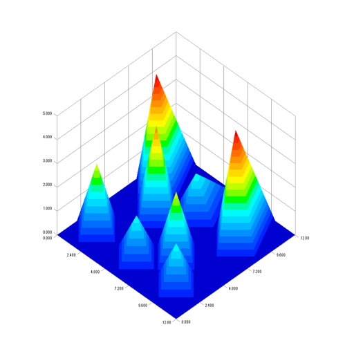
Visualize files as interactive graphs. Zoom in and out for detailed views. Edit content directly. View selected items in an editable table. Change data types with a pull-down menu. Undo or redo changes. Copy and paste segments.