Crop Water
Estimate soil water status easily now.
University of Nebraska - Lincoln
iPhone Screenshots


Description
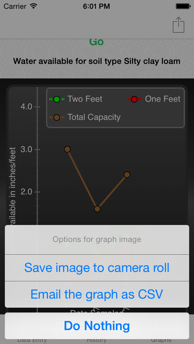
The app estimates soil water status using Watermark sensor readings from 1, 2, and 3 feet. It calculates water usage and availability for Nebraska soils, and users can view historical sensor data and graphs.
The Crop Water App was developed at the request of Nebraska Agricultural Water Management Network (NAWMN) participants. This app provides an easy way to estimate soil water status based on Watermark sensors installed at depths of 1, 2, and 3 feet. With these sensor readings, the Crop Water app will estimate the water used as well as what is still available for Nebraska soils. You can also see historic sensor readings and graph. Check out the NAWMN at: water.unl.edu/NAWMN.