The app converts Stereo70 coordinates to WGS84 (ETRS89) or vice versa. It allows users to check locations on a map and offers features like saving locations and dark mode.
by Cristinel Bontas★ 5.01 ratingsUtilities$2.99Data updated 2026-10-16
Calculator allows users to perform basic and advanced mathematical operations. Input and display numbers with large, clear buttons. Correct entries using a backspace key. Support decimal points and parentheses for complex calculations.
The app allows users to map image or movie textures from their photo library onto surfaces in a real scene. It supports mapping up to 32 rectangle polygons with editable positions, sizes, rotations, UV coordinates, and vertexes.
Display and coordinates using iPhone GPS. View precise location data instantly. Features a clean interface for quick reading of coordinates. No unnecessary features or tabs.
Collect GPS coordinates as KML Placemarks with location, name, comment, and color. View coordinates in decimal, DMS, and UTM formats. Import and export data as KML files via email. Add Placemarks by tapping "+". Record locations automatically.
The app converts numbers between binary, hexadecimal, octal, and decimal formats. It includes functions for bit shifting, adding one, and subtracting one, with an optimized keyboard for input.
Perform calculations with over 225 built-in operations including trigonometry, logarithms, complex functions, and real numbers. Scroll through the stack with finger gestures. Copy and paste results. Work with real and complex numbers.
Displays altitude using a digital readout and an analog gauge. Tracks maximum height reached during use. Shows altitude accuracy and sensor quality. Utilizes GPS and barometric sensor for precise measurements.
The app determines a remote GPS location using compass bearings from multiple geolocated points. It supports automated or manual entry of readings and displays results on a map.
Measure and map 3D terrain with X, Y, and Z coordinates. Save, email, or upload data to CAD. Calculate slope percentages and elevation above sea level. Include photos with location data and use built-in compass for accurate orientation.
Convert files and photos to and from PDF format. Batch process multiple files at once. Adjust settings for quality and layout. Export converted documents directly to cloud storage or device.
Convert Japanese Yen to US Dollars and vice versa. Enter amounts to see real-time exchange rates. Update rates manually or enable automatic refresh. Share conversion results via copy or social media.
Calculate azimuth, distance, and coordinate differences with DMS or decimal units. Check deviations and field notes. Save and share results via LINE or email.
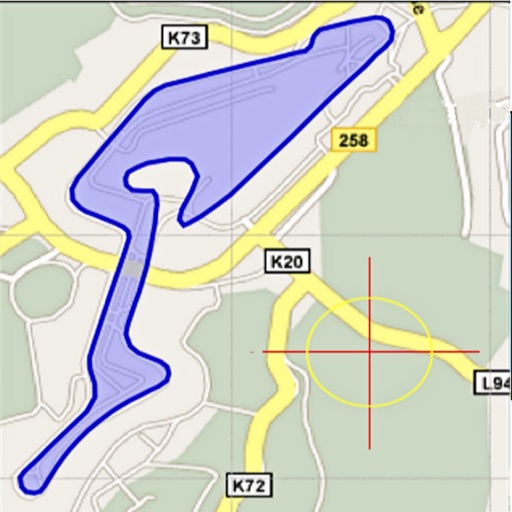
Area, lengths, and angles on maps using an interactive crosshair. Trace outlines to create connected points, updating area and perimeter in real time. Adjust radius for scaling features. View dynamic length and angle as you move the crosshair.
Track work hours, breaks, and overtime with precise calculations. Input start and end times, include lunch breaks, and convert to military . Generate cards for biweekly periods and export data for payroll.