
iPhone Screenshots

iPad Screenshots


Description
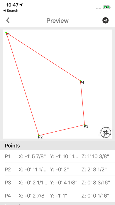
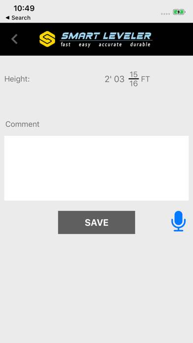
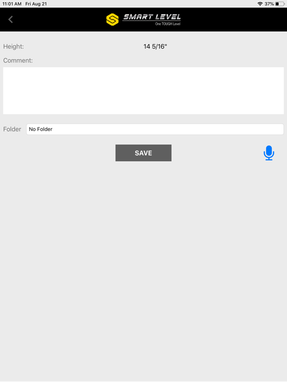
Measure and map 3D terrain with X, Y, and Z coordinates. Save, email, or upload data to CAD. Calculate slope percentages and elevation above sea level. Include photos with location data and use built-in compass for accurate orientation.
3D Terrain Mapping and Hardscape Leveling System.
The only Precision Construction Altimeter on the market that allows you to plot or survey true 3D X,Y, and Z measurements then save, email, or upload directly into CAD. The ultimate instrument for bidding jobs. Figures % of Slope, Engineering Scale- Feet above sea level, includes photos with data, and compass.
Designed for the true professional specifically for the Hardscape Industry by Hardscape Pros!
App information from Apple App Store. Smart Leveler and related trademarks belong to Mike East.