Apps Like Scenic Map Eastern Canada for iPhone and iPad
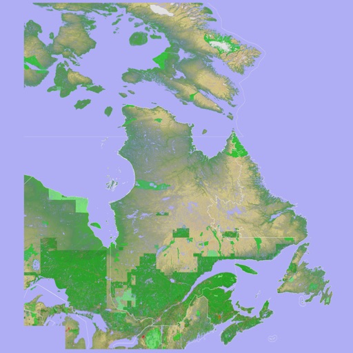
3D topographic map of Eastern Canada
The app presents a 3D topographic map of Eastern Canada. Users can download map data for use without an internet connection, suitable for various travel methods.
by Mark Granger★ 0.00 ratingsNavigation$3.99Data updated 2026-10-10
Map navigation with detailed vector maps that support unlimited zoom. Locate points of interest and navigate without internet or roaming charges. Save data by avoiding cellular usage.
Track rides with real-time stats including distance, speed, duration, and elevation. Review performance data post-ride. Use AI to plan cycling routes based on goals like commuting or training. Set and monitor fitness targets.
Explore curated locations across Landmark Highlights, Nature & Scenic Spots, and Walking & Activity Routes. View maps, descriptions, and addresses offline. Save favorite places and add travel notes for each location.
Find attractions, restaurants, and park hours interactive . Search for specific locations, view details, and filter between dining and attractions. Add items to an itinerary and check magic hours and operating times.
Explore attractions with detailed maps and event listings. Find recommended tours and local listings. Access travel tools and historical information on music landmarks. Navigate using interactive maps and plan itineraries.
Record outdoor activities like hikes, runs, or bike rides. Save and share tracks in GPX format. Compare recorded routes with planned tracks. Store tracks with custom data structures. Import GPX files for planned tours.