Apps Like Peak District Map for iPhone and iPad
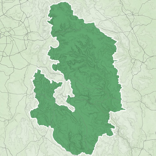
Peak District Map screenshots
Ranked alternatives
Showing 1–20 of 1,000 ranked alternatives.


Avenza Maps: Offline Mapping
Avenza Systems Inc.
Navigate with maps and GPS
Use GPS to navigate trails . Import custom maps and create personal maps. Access topographic, hiking, cycling, and city maps from publishers like National Geographic and National Park Service. Sync with devices for use.

Footpath Route Planner
Half Mile Labs LLC
Plan and navigate custom routes easily.
The app measures distances and elevations, then navigates with turn-by-turn directions. Users can plan and save custom routes for various activities and adventures.

GPS Tracks
David Morneault
Track routes, save waypoints, navigate outdoors
Track outdoor activities like hiking, biking, walking, and running with GPS. Save and navigate to waypoints. Store favorite destinations. View activity logs and maps. Share routes and track progress.

Gaia GPS: Mobile Trail Maps
Trailbehind, INC.
Navigate with topographic
View topographic with hill-shading and weather updates. Navigate using GPS and map layers. Log trails, share routes online, and plan backpacking or off-roading adventures. Track elevation and explore public land or custom trails.

GuideAlong | GPS Audio Tours
Gypsy Guide LLC
Explore locations with guided
Provides location-based for road trips. Guides users to points of interest, suggests side trips, and offers local tips. Includes historical, geological, and cultural information. Automatically plays commentary based on location and direction.
How we rank alternatives
Apps are ranked by functional similarity, category fit, rating confidence, and popularity.