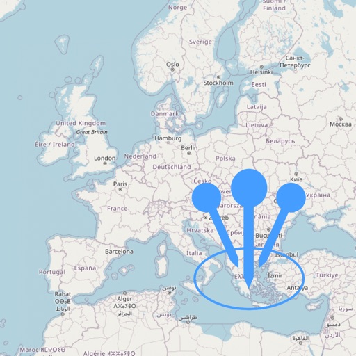
Draw on OpenStreetMap maps to create notes, diagrams, and annotations. Add lines, text, symbols, and illustrations. Scroll, zoom, and use multi-touch during drawing. Save and share your sketches directly.
View detailed maps and get turn-by-turn navigation for driving, walking, and cycling without requiring an internet connection. Access preloaded travel guides for hundreds of destinations to plan trips efficiently.
Find locations and points of interest with detailed search. Navigate using turn-by-turn directions for driving, motorcycle, and public transport. Support Apple CarPlay and multi-mode routing. Track real-time traffic and road conditions.
Navigation provides turn-by-turn driving directions with live traffic updates. Download and use without internet. Explore new locations with detailed content. View traffic conditions to avoid congestion. Save and access without limits.
Navigate with voice-guided turn-by-turn directions in multiple languages. Plan door-to-door routes. View upcoming maneuvers and distances. Access offline for 200+ countries. Receive speed limit and camera warning alerts.
Plan hunts by viewing species distribution and 3D . Access units and land boundaries. Save offline and mark waypoints. Track weather conditions and property lines. Use satellite, lidar, and hybrid basemaps for terrain analysis.
Explore maps with detailed satellite views, hiking trails, and topography. Navigate transport networks and view railway routes. Access terrain analysis and seas. Customize map layers for OpenStreetMap and tile-based maps.
View detailed with offline access. Search for locations by address or category. Plan routes considering road preferences and vehicle size. Track inclines and record GPX tracks. Customize data access and privacy settings.
Find hikes or ski tours tailored to your preferences. Create and save personalized routes using the route planner. Track outdoor activities with precise GPS navigation. Access detailed maps for the Alpine region.
Distances and areas on satellite maps. Select objects like lawns, roads, and buildings. Save and share measurements. Export data in various formats. Sync with other apps for project planning.
Distances and areas on satellite maps. Select points to calculate length or size. Save measurements and share results. Compatible with various map views and zoom levels.
Select and use maps from multiple vendors including OpenStreetMap, CityGuide, and national producers. Navigate offline with worldwide coverage. Access traffic info and regular updates. Set map preferences and manage subscriptions.