Apps Like Scenic Map Eastern Canada for iPhone and iPad
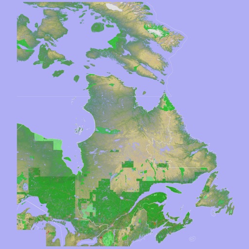
3D topographic map of Eastern Canada
The app presents a 3D topographic map of Eastern Canada. Users can download map data for use without an internet connection, suitable for various travel methods.
Scenic Map Eastern Canada screenshots
Ranked alternatives
Showing 401–420 of 1,000 ranked alternatives.

Garmin BaseCamp
Garmin International
Plan trips, edit waypoints, manage data
Manage geographic data and plan trips using map data. Transfer data to and from devices. Create and edit waypoints, routes, and tracks. Find addresses and points of interest. View maps in 2D and 3D. Display topographical information.


Sky-Map
Rolf Schade
Moving map navigation and flight planning.
The app displays the user's actual position on digital aviation charts. It offers flight planning, route saving, and calculation of distances, flight times, and fuel consumption.


Simple TOPO
Red Sky Engineering, LLC
Outdoor navigation for iPhone and iPad.
The app provides outdoor navigation with satellite, road, and hybrid maps. An in-app subscription unlocks USGS 24k Topo charts, navigational features, and frequent upgrades for outdoor pursuits.



Pincrumbs
sivy antony vellara vinson
Save locations with notes and maps
Save locations instantly with one tap. Add notes, photos, or voice reminders. View saved places on a map and in a timeline. Retrieve locations anytime to revisit or rediscover them.

Tube Planner
Alexander Kozlowski
London Underground planner for Greater London.
The app offers a London Underground planner with current and planned statuses for multiple rail lines. It includes a Tube Map, a single line map, and a Google Maps feature for location.


Beijing Rail Map Lite
Ansgar Vollmer Und Till Knorr
Clear and concise route map application.
The app provides a route map with a station index and line overviews. It includes GPS support to find the closest station and high-resolution graphics for retina displays.

66Maps
Oratu, s.r.o.
Explore peaks with augmented reality.
The app integrates mapping technology and augmented reality for outdoor experiences. It offers an offline peak database, AR peak visualization, and multiple map providers and types.
How we rank alternatives
Apps are ranked by functional similarity, category fit, rating confidence, and popularity.