The app measures distances, perimeters, and areas with precision over satellite images. It calculates surface areas, dimensions for fencing, and more without needing to be on location.
by Blue Blink One, SL★ 4.6821 ratingsUtilitiesFreeData updated 2026-09-20
Calculate measurements with addition, subtraction, multiplication, and division. Convert between decimals and fractions. Display results directly on a visual interface. Mark precise positions without manual calculations.
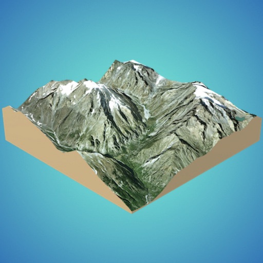
Create 3D models from online sources like Bing Maps or local cloud points. Export data as CSV, TXT, STL, or OBJ. Modify models by cutting, scaling, and animating. Calculate surface areas and volumes in real-world units.
Calculate distances and areas using GPS coordinates. Place markers on a map to measure distances between points or total of a route. Delete markers by tapping them. Export results for further use.
Sound levels with SPL metrics including current average, peak, average maximum, and absolute maximum. Display graph histograms for level changes. Save measurements and reset maximum values by tapping. Support upside down orientation for easy use.
Measure areas using map, GPS tracking, or AR. Draw shapes on the map for rough estimates. Track GPS routes for precise measurements. Use AR to measure rooms or objects by placing virtual markers. Export results and share data.
View current weather conditions and 10-day forecasts for any location. Access real-time animated radar and track weather changes on an interactive map. Monitor pressure, humidity, wind speed, and direction. Receive alerts for floods and hurricanes.
Navigate using auto-direction based on current location. Create routes on Google . Access latest Street View and traffic data. Search locations with simple input. Add multiple pins and view full-screen . Display latitude and longitude.
Create 3D layouts with precise measurements. Measure distances and surface areas using augmented reality. Export scans as PDF or other file formats for easy sharing and reference.
Monitor trip data with live metrics like average speed, current speed, top speed, distance, direction, travel time, stationary time, and clock. Customize display style and speed units. Arrange metrics on screen.
View and analyze satellite imagery for fishing conditions. Locate and track fish populations. Set waypoints and save maps. Share images and data with other users. Receive real-time updates on weather and currents.
Objects and spaces using AR and AI. Tap to set start and end points for digital measurements. View real-time measurements on the screen. Export results or share measurements directly.
Create and manage map radiuses with customizable center coordinates, , and color settings. Share URLs via email or text to display radiuses in any browser. Include names, notes, and choose from multiple coordinate and distance formats.
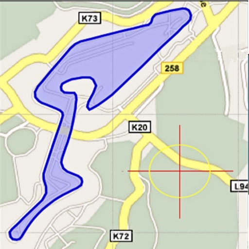
Area, lengths, and angles on maps using an interactive crosshair. Trace outlines to create connected points, updating area and perimeter in real time. Adjust radius for scaling features. View dynamic length and angle as you move the crosshair.
Calculate , topsoil, dirt, or landscaping material needed for projects. Input dimensions for rectangular, circular, or custom areas. Enter measurements in inches, feet, yards, centimeters, or meters.
Rooms using augmented reality with a virtual ruler for precise distance and area calculations. Create 3D floor plans from scans. Save and share measurements. Sync with other devices for collaborative planning.
Measure distances using augmented reality by pointing the camera at objects. Display measurements between selected points. Use an on-screen to measure objects placed on the phone surface. Set and track measurement targets.
Measure inter pupillary using iPhone or iPad. Take measurements in seconds with high precision to 0.1mm. Support near and far measurements. Remove glasses for better accuracy. Display large text for readability. Include dark mode option.
The app records user trips, displaying tracks, position, and live information like speed and altitude. It also measures distances, areas, and perimeters by placing points on the map.
Use the camera to object sizes, room areas, and shopping items. Capture images and receive precise dimensions with AI accuracy. View detailed measurements and compare sizes instantly.