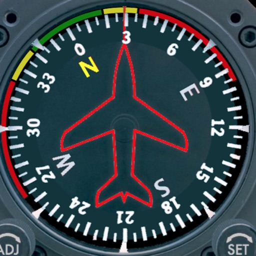
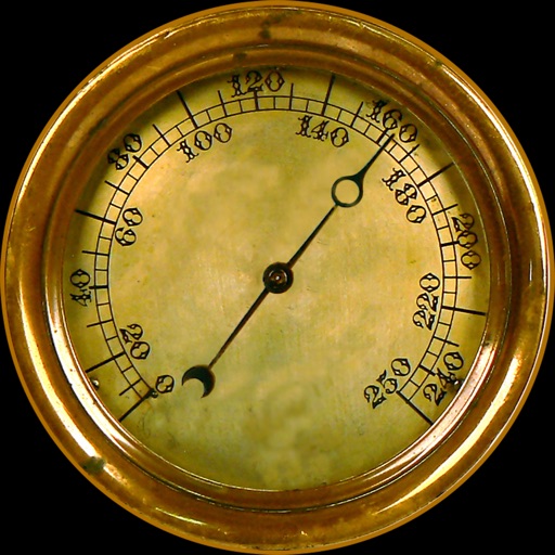
Displays a photorealistic -style indicator with both analog and digital readouts. Users can toggle rotation lock, simulate the instrument indoors, and view improved graphics. Supports latest iOS versions and includes bug fixes.
by Sean Flanagan★ 2.212 ratingsNavigation$0.99Data updated 2026-11-09
Learn and practice IFR procedures with realistic simulations. Navigate using charts and instruments. Practice approaches, holds, and instrument approaches. Track progress and review performance metrics.
Practice IFR flight training with simulations of VOR, HSI, RMI, ADF, DME, and ILS navigation. Track instrument readings, adjust settings, and test navigation skills. Save progress and review performance metrics.
Measure direction and elevation with a digital compass and inclinometer. Access real-time GPS and map data. Navigate using location-based routes. Share coordinates and track movement history.
Wirelessly iOS devices to Adafruit LE modules for project control. Send sensor and GPS data via Bluetooth LE. Control directional inputs and Arduino pins. Transmit and receive messages in Hex or ASCII formats. Communicate with CircuitP devices.
Calculate takeoff, landing, climb, cruise, descent, and instrument procedure for Beechcraft aircraft. Input wind and weight to determine glide distance with head or tailwinds.
Calculates flight metrics for Piper aircraft. Users can compute takeoff, landing, climb, cruise, descent, and emergency glide distances. It includes hold calculations, risk analysis, and instrument procedure data.
Displays drone location with altitude, yaw, pitch, and battery status. Connects via WiFi, Bluetooth Low Energy, or Cellular. Supports ArduCopter, ArduPlane, and ArduRover via MAVLink. Tracks flight data and allows remote control.
The app provides siren sounds including Wail, Yelp, Pier, Hi/Lo, and Airhorn. It features manual siren buttons that light up like real sirens for a realistic experience.
The app provides instrument training for general aviation pilots. Users can manipulate map elements and observe instrument responses in Learn mode, or determine aircraft location based on instruments in Test mode.
Apply vintage effects to audio tracks. Adjust parameters like time, feedback, and modulation. Choose between analog-style filters and modulation types. Save and load presets. Export processed audio files.
Plan flights with route mapping, fuel calculations, and weather data. Track aircraft in real time. Access offline maps and charts. Set flight parameters and monitor navigation. Share flight data with other .
Navigation provides altitude, barometric pressure, and compass readings. Measures humidity, rainfall, and temperature. Includes magnifying glass, metronome, ruler, and spirit level. Displays speed, vertical speed, and VU meter.