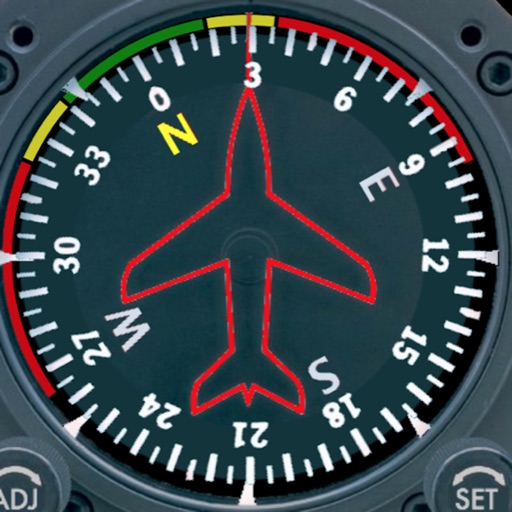
Displays a photorealistic -style indicator with both analog and digital readouts. Users can toggle rotation lock, simulate the instrument indoors, and view improved graphics. Supports latest iOS versions and includes bug fixes.
by Sean Flanagan★ 2.212 ratingsNavigation$0.99Data updated 2026-11-09
Track speed, distance, altitude, and heading using GPS. View latitude and longitude coordinates. Monitor sunrise and sunset times. Record acceleration data. Save journey logs for later review. Share trip details via email or social media.
Navigation allows users to save locations using the red cross on a map. Users can retrieve saved locations by following a red arrow in Augmented Reality.
View detailed and subway routes with interactive maps. Plan trips by finding fastest routes and transfer points. Access a stations index for quick navigation. See line-specific station orders and transit options. Use GPS to locate nearby stations.
A that displays magnetic and true north. Switch between modes. Rotate map for directional reference. Includes for altitude measurement on compatible devices.
Track location, speed, altitude, and heading using built-in GPS. Customize with widgets for quick access. View real-time movement data and adjust settings for navigation.
Create a realistic flight simulation cockpit with a Boeing-style Flight Management System, Primary Flight Display, and Navigation Display. Connect to flight simulators via local network. Configure displays for different simulators.
The app analyzes microphone input to display pitch, frequency, octave, and difference from standard pitch. It offers graphical interfaces, adjustable colors, and supports various notations and instrument tunings.
Decode Morse code audio into text by accessing the microphone and placing the device near the audio source. The automatically detects frequency and speed, displaying real-time text in a bottom panel. Use the lock icon to secure the interface.
Track current speed, average speed, and maximum speed using GPS. Display speed camera locations. Overlay video recording speed on footage. Include HUD interface for real-time speed visibility. Sync with devices for dashcam functionality.
The app displays real-time altitude in meters or feet using a GPS signal. It automatically detects the user's location and shows altitude, name, address, latitude, and longitude on a map.
The app uses the device camera to overlay live video with markers showing nearby airports. It provides aviation weather, airport information, and flight planning capabilities.
Customize dashboards with configurable gauges like speedometer, odometer, GPS altimeter, barometric altimeter, accelerometer, artificial horizon, compass, and elapsed time. Swipe to switch views and access real-time sensor data from iPhone or iPad.
Rally racing navigation instrument for motorcycles.
The app offers an adjustable odometer and a CAP heading compass on its home screen. It is suitable as a primary or backup navigation device for rally racing.
Vehicle with GPS for cars, bikes, and boats. Display in mph, km/h, and knots. Use analog ranges for different vehicle types. Monitor odometer readings for distance traveled.
View real-time listings with complete details and high-quality images. Receive push notifications for updates. Request information directly through the . Track status changes and access inventory updates instantly.