

Apps Like Land Nav for iPhone and iPad
Land Nav screenshots
Ranked alternatives
Showing 781–800 of 1,000 ranked alternatives.

GPSRecorder
Cyril Godefroy
Record location, track movement, geotag photos
Records position, distance, and duration during use. It tracks movement and geotags external photos. Users can review tracks on a map, view speed and distance, and export data as GPX files for other software.

Rother: Hiking Tours & Maps
Bergverlag Rother GmbH
Route suggestions from professional authors.
The app offers route suggestions from professional authors and maps from qualified cartographers for outdoor experiences. Users can download maps for offline use, plan their own routes, and record adventures.


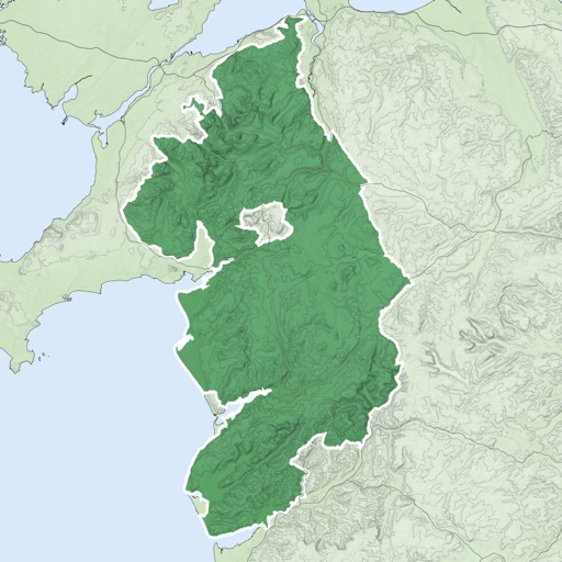
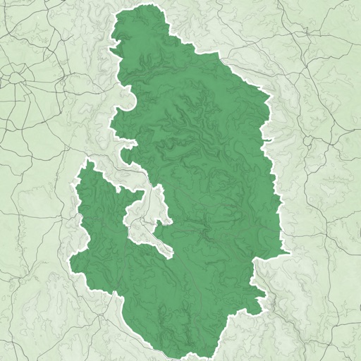
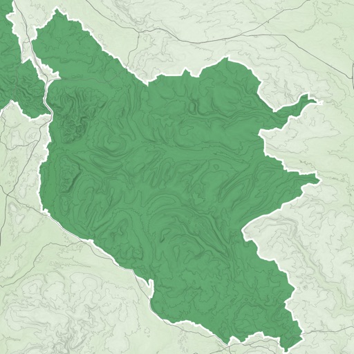
Olympian Land
DYNACOMP ANONYMOS EMPORIKI KAI VIOMICHANIKI ETAIREIA ILEKTRONIKON SYSKEVON KAI SYNAFON EID

SpeedoMeter + Free
Matteo Morelli
Track speed, coordinates, altitude, direction.
The app transforms an iPhone into a functional speedometer. It tracks current speed, GPS coordinates, altitude, direction, and maximum speed.

Speedometer-PRO
3B Soft srls
Speedometer and GPS trip computer.
The app tracks trips and exports data in gpx and kmz formats. It synchronizes local tracking data with a configurable OpenGTS server for fleet tracking.

Track4Facts PRO: Drag & Track
Klaus Neuendorf
Track routes and analyze speed data
Record driving routes with GPS tracking. View speed, distance, duration, and average speed. Analyze maximum speed, acceleration times, altitude changes, and stops. Display data in charts for performance review.

UK Tide Times
Xentore Pty Ltd
Tide times for the United Kingdom.
The app displays tide times for 226 locations across England, Wales, Northern Ireland, and Scotland. It shows low and high tides for any date through December 2023, along with current tide height and time to the next tide.


How we rank alternatives
Apps are ranked by functional similarity, category fit, rating confidence, and popularity.