
iPhone Screenshots
Description
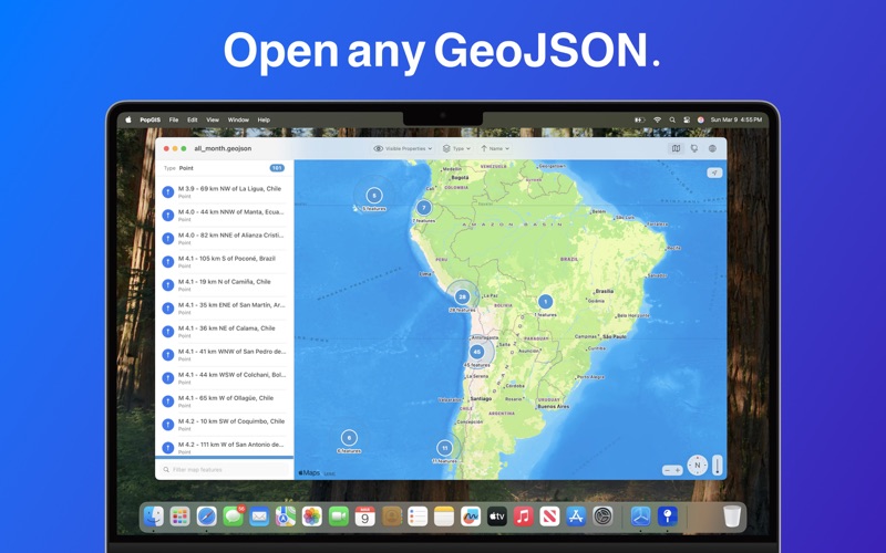
PopGIS is the simplest tool to view and edit GeoJSON files on your Mac. Open and edit geospatial datasets on your Mac using RFC 7946 compliant .json and .geojson files - import data from web feeds, APIs, and public data sources.
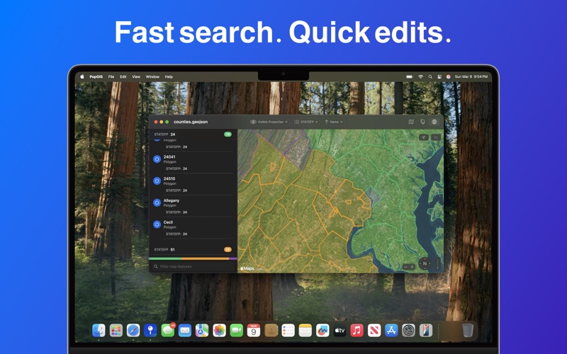
* Search and filter geospatial features based on properties
* Open large files up to 250MB+ in size
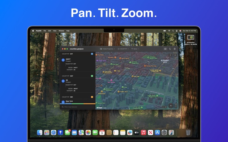
* Pan, tilt, and zoom the map with intuitive controls
* Edit individual properties to correct errors and mistakes
* View the latest satellite and vector base layers from Apple Maps
* Preserve your privacy: no tracking, no ads, no data collection
Terms of Service: https://www.apple.com/legal/macapps/stdeula/
Privacy Policy: https://popgis.com/privacy/