Display maps using GPS and MGRS coordinates. Measure distances and bearings between points. Save and share location data. View terrain and elevation details. Navigate with compass and grid alignment.
The app provides GPS map navigation for outdoor adventures in UK National Parks. It offers online and offline modes with detailed charts, GPS tracking, and name searching.
View and navigate mapping data with a touch interface. Access Ordnance Survey for Great Britain at 1:50000 scale. Explore worldwide coverage with detailed topographic and road layers. Search for locations, zoom, and pan across .
Monitor real-time location and environmental data for marine activities. Receive smart alerts for safety risks. Access offline maps and navigation tools. Record and retrieve black box data for incident review.
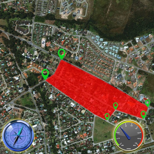
The app looks up any latitude/longitude coordinate on the earth's surface and displays it on a satellite image or map. It is useful for finding a location specified only by its coordinates or to map out a SIGWX area.