Measure distances, remember locations, get headings.
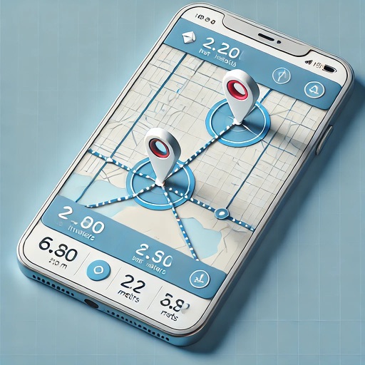
The app measures distances, remembers locations, and provides magnetic headings between selected points. It displays coordinates in decimal degrees and degree minute second formats, and allows users to save locations with custom names.
The app provides mapping visualization and awareness for in-field data collectors. It allows users to collect, share, and access geospatial information in connected or disconnected environments.
Track elevation and climb rate in real-time. Calibrate altitude settings and check GPS accuracy. Send location links via SMS for easy sharing and navigation assistance. View maps in web browsers for location tracking.
The app tracks user journeys without requiring accounts or logins. It allows users to record their locations, add tracks to a map, and export them to GPX or KML files.
The app enables users to share their current location or a selected location via SMS, email, and other methods. Recipients get a link to a mobile website with a map and navigation shortcuts to the shared location.
The app displays real-time GPS position on marine charts derived from NOAA data. It includes features for waypoints, routes, and AIS overlay when connected to a compatible system.
Save locations instantly with a widget on the Today screen. View duration without a stopwatch. Access an accurate map showing the car's location. Quickly open Apple Maps or Google Maps to locate the vehicle.
Display maps using GPS and MGRS coordinates. Measure distances and bearings between points. Save and share location data. View terrain and elevation details. Navigate with compass and grid alignment.