
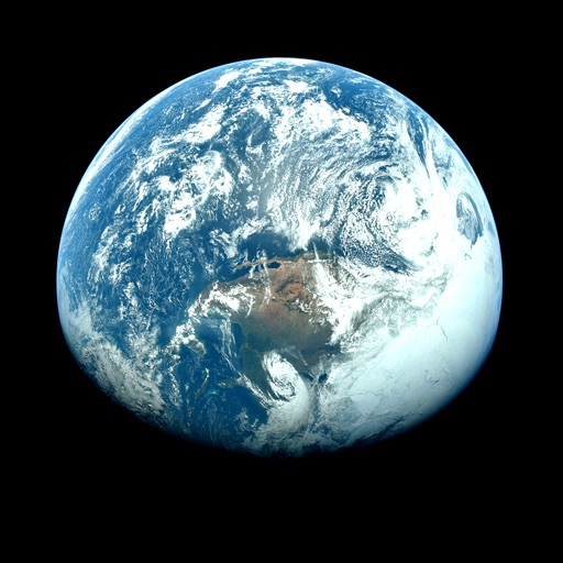
Apps Like Orbiter - Earth Visualizer for iPhone and iPad
View satellite images and time-lapse overlays
View satellite imagery and time-lapse data to analyze features. Compare images using an A/B slider. Visualize environmental data like air pollution, vegetation, and sea ice. Explore unfiltered satellite views from the ESA’s Sentinel-2 satellites.
Orbiter - Earth Visualizer screenshots
Ranked alternatives
Showing 121–140 of 1,000 ranked alternatives.

WBNG Storm Track 12
Gray Television Group, Inc.
Severe weather in real time
Access real-time weather data with high-resolution radar and satellite imagery. severe weather trends and view current conditions updated frequently. Save favorite locations and receive hourly forecasts.

KTUL Weather App
Sinclair Broadcast Group, Inc
Check radar and track severe weather
Access real-time weather data with high-resolution radar and satellite imagery. View current conditions and forecasts updated hourly. Add and save favorite locations. Track severe weather movement with future radar predictions.

9 StormTrack
Allen Media Broadcasting LLC
Track weather, radar, and forecasts
View current weather updates multiple times per hour. Access high-resolution satellite imagery and 250-meter radar. See future radar for severe weather movement. Add and save favorite locations. Use integrated GPS for location-based forecasts.

WILX First Alert Weather
Gray Television Group, Inc.
Track , radar, and forecasts
Access real-time updates multiple times per hour. View high-resolution radar and satellite imagery. Add and save favorite locations. Receive hourly forecasts and severe alerts. Use integrated GPS for location-based data.

WTVC Storm Track 9
Sinclair Broadcast Group, Inc
Weather, radar, and forecasts
View current weather updates multiple times per hour. Access high-resolution satellite cloud imagery and 250-meter radar. See future radar for severe weather movement. Add and save favorite locations.

Met Office Weather Forecast
Met Office
Check forecasts and track alerts
Check current and forecasted with hourly updates up to 7 days ahead. View real-time warnings and interactive maps. Track precipitation, temperature, and wind conditions. Set location-based alerts for severe .

KTRE 9 First Alert Weather
Gray Television Group, Inc.
Track , radar, and forecasts
View current updates multiple times per hour. Access high-resolution satellite imagery and 250-meter radar. See future radar for severe movement. Add and save favorite locations. Use integrated GPS for location-based forecasts.

FOX Carolina First Alert Wx
Gray Television Group, Inc.
Track severe weather with high-res radar
View current weather updates multiple times per hour. Access high-resolution satellite cloud imagery and 250-meter radar. See future radar for severe weather movement. Get daily and hourly forecasts updated hourly.

KALB WX
Gray Television Group, Inc.
High resolution radar and forecasts.
The app provides access to station content for mobile users. It features 250 meter radar, future radar, and high-resolution satellite imagery.

WHSV-TV3 Weather
Gray Television Group, Inc.
Track , radar, and forecasts
Access real-time updates multiple times per hour. View high-resolution radar and satellite imagery. Track severe with future radar predictions. Save favorite locations and use integrated GPS for current location data. Add and manage saved locations.

Magic Earth Navigation & Maps
Magic Lane International B.V.
Navigate with turn-by-turn directions
Allows users to browse , search locations, save favorites, and use turn-by-turn . Premium subscription enables traffic-aware routing, activity recording, offline , and elevation map views for terrain clarity.

RNF First Alert Weather
Gray Television Group, Inc.
Track severe with high-res radar and satellite
Access real-time updates with high-resolution radar and satellite imagery. View current conditions and forecasts updated hourly. Add and save favorite locations. Track severe movement with future radar predictions.

KTTC First Alert Weather
Gray Television Group, Inc.
Severe weather alerts and forecasts.
The app provides access to station content and features 250 meter radar with future radar capabilities. It includes high-resolution satellite imagery, current weather updates, and daily/hourly forecasts.

Carrington
9 RESE' LLC
Track solar activity and earthquake alerts
Monitor solar activity and its impact on Earth. Track earthquake events and high-risk areas. Access 80+ solar video streams and 30+ real-time data feeds. Receive alerts for potential events and planetary disturbances.

WCAX WEATHER -
Gray Television Group, Inc.
Track , radar, and forecasts
View current updates multiple times per hour. Access high-resolution satellite imagery and 250-meter radar. Add and save favorite locations. Receive hourly forecasts for daily and hourly periods. Use integrated GPS for location-based alerts.

WRDW Weather
Gray Television Group, Inc.
Track , radar, and forecasts
Access real-time updates multiple times per hour. View high-resolution radar and satellite imagery. Add and save favorite locations. Track severe with future radar. Use integrated GPS for current location data.


WVVA Weather
Gray Television Group, Inc.
Track , radar, and forecasts
Access real-time data with high-resolution radar and satellite imagery. View current conditions and forecasts updated hourly. Add and save favorite locations. Use integrated GPS for location-based alerts and tracking.

KSWO First Alert 7 Weather
Gray Television Group, Inc.
Track , radar, and forecasts
View current updates multiple times per hour. Access high-resolution satellite imagery and 250-meter radar. Save favorite locations and use integrated GPS for location awareness. Check hourly and daily forecasts from computer models.
How we rank alternatives
Apps are ranked by functional similarity, category fit, rating confidence, and popularity.