Monitor solar activity and its impact on Earth. Track earthquake events and high-risk areas. Access 80+ solar video streams and 30+ real-time data feeds. Receive alerts for potential events and planetary disturbances.
by 9 RESE' LLC★ 4.1217 ratingsLifestyleFreeData updated 2026-09-12
View real-time forecasts with an interactive map. Set customizable KP index notifications. Track solar wind data, geomagnetic power, and space weather forecasts up to 27 days. Receive SWPC and view short-term graphics.
Check the current KP index and visibility probability. View solar wind data and high-resolution sun images. Track forecasts and receive alerts. Access detailed weather conditions for northern locations. Share forecasts with friends.
Water utility operators can access location-based weather data and severe weather alerts from NOAA. They can locate and contact partners. The allows recording responses to cybersecurity incidents, droughts, earthquakes, and other emergencies.
Monitor earthquakes with real-time and 3D globe maps. View satellite and street maps with fault lines. Filter and sort data from multiple sources. Access links to USGS event pages, PAGER forecasts, and tsunami .
The app provides real-time earthquake alerts from over 10 official seismic networks worldwide. It offers live worldwide earthquake data, tsunami warnings, and volcano information on a detailed map.
Monitor earthquakes with real-time global tracking and push . View live maps showing seismic activity. Search for specific details. Receive free, customizable without restrictions.
View live weather radar and satellite imagery. Track precipitation types and lightning. Access high-resolution forecasts using advanced models. Set location-based alerts. Share weather data with others.
Monitor earthquakes and volcanic activity with real-time data from USGS, EMSC, and Smithsonian Institution. View recent events, seismic time-lapses, and tsunami warnings. Track locations and magnitudes. Receive alerts for new activity.
Track radio propagation between any two global locations. Estimate HF conditions using forecasting tools. View solar activity data and propagation graphs. Set alerts for optimal listening times. Share forecasts with other users.
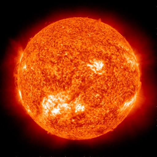
Monitor live solar imagery from NASA's Solar Dynamics Observatory. Track solar flares and coronal mass ejections. Receive alerts and forecasts for northern and southern lights. View real-time Kp index predictions and visibility maps.
View real-time animations in various wavelengths. Track active regions and sunspots with detailed information. Receive updates on coronal mass ejections using SDO and LASCO imagery.
Receive real-time via push notifications with customizable location and magnitude settings. View interactive maps showing event magnitude and age using colored circles. Filter earthquakes by region or magnitude.
Track auroral activity with real-time KP index and solar wind data. View auroral oval maps for global forecasts. Receive push when conditions are optimal. Check cloud cover and weather layers to plan viewing locations.