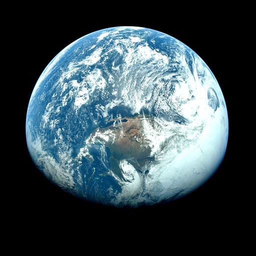
Apps Like Orbiter - Earth Visualizer for iPhone and iPad
View satellite images and time-lapse overlays
View satellite imagery and time-lapse data to analyze features. Compare images using an A/B slider. Visualize environmental data like air pollution, vegetation, and sea ice. Explore unfiltered satellite views from the ESA’s Sentinel-2 satellites.
by Rayner Software★ 4.657 ratingsTravelFreeData updated 2026-09-29
View current weather updates multiple times per hour. Access high-resolution satellite imagery and 250-meter radar. Track severe weather with future radar predictions. Save favorite locations and use integrated GPS for location-based forecasts.
Access real-time data with high-resolution radar and satellite imagery. View current conditions and forecasts updated hourly. Add and save favorite locations. Use integrated GPS for location-based alerts. Track severe movement with future radar.
View current updates multiple times per hour. Access high resolution satellite imagery and 250 meter radar. Check hourly and daily forecasts from computer models. Add and save favorite locations. Use integrated GPS for location awareness.
Access real-time weather data with high-resolution radar and satellite imagery. View current conditions and forecasts updated hourly. Add and save favorite locations. Track severe weather movement with future radar predictions.
Access current updates multiple times per hour. View high resolution satellite imagery and 250 meter radar. Track severe with future radar forecasts. Add and save favorite locations. Use integrated GPS for location awareness.
Access real-time data with multiple hourly updates. View high-resolution radar and satellite imagery. Track severe movement with future radar forecasts. Add and save favorite locations for quick access.
View current updates multiple times per hour. Access high-resolution satellite cloud imagery and 250-meter radar. See future radar for severe movement. Save favorite locations. Check daily and hourly forecasts updated hourly.
Access real-time data with high-resolution radar and satellite imagery. Track severe trends and view current conditions updated frequently. Save favorite locations and use GPS for location-based forecasts.
Receive real-time alerts for your location. Check current conditions and view 8-day forecasts with video updates. Access live radar and satellite images with warning overlays. Upload photos and videos of events.
Access current updates multiple times per hour. View high-resolution satellite imagery and 250-meter radar. Track severe with future radar predictions. Save favorite locations and use integrated GPS for location awareness.
Access real-time data with high-resolution radar and satellite imagery. View current conditions and forecasts updated hourly. Add and save favorite locations. Use integrated GPS for location-based alerts.
Plan and execute backcountry trips with detailed topographic maps. Customize maps for specific activities. Download and compare maps for offline use. Combine overlays to adjust map views. Build routes with smart tools.
Korean Space Weather Center of National Radio research Agency
Monitor solar flares and space weather events
View real-time solar flare observations and space weather forecasts. Access solar activity data, geomagnetic indices, and radiation level monitors. Track space weather events and their potential impacts on Earth.
Provide 7-day forecasts in 3-hour intervals. Display weather reports for 2 million global locations. Show detailed temperature, wind, pressure, precipitation, humidity, UV index, and feels-like data. Supports Apple Watch integration.
Track GPS and GLONASS satellite data including position, accuracy, speed, altitude, and orientation. Save and navigate to locations using coordinates or real-time data. Use a compass with magnetic and true north, a leveling tool, and waypoints.
Access current data updated multiple times per hour. View high-resolution satellite imagery and 250-meter radar. Add and save favorite locations. Receive opt-in push alerts for severe . Track hourly forecasts and future radar trends.
View current updates multiple times per hour. Access 250-meter radar and high-resolution satellite imagery. Add and save favorite locations. Receive hourly forecasts with daily and hourly updates. Use integrated GPS for location-based information.
View 7-day forecasts with today’s max and min temperatures. Check 'feels like' temperature and wind details including speed in multiple units. Track humidity levels and precipitation probability. Customize layout and preferred parameters.
Access real-time data with high-resolution radar and satellite imagery. Track severe movement using future radar. Update current and forecasts hourly. Save favorite locations and use integrated GPS for location-based alerts.
The app provides access to station content and a 250-meter radar with future radar capabilities. It offers high-resolution satellite imagery, current weather updates, and daily/hourly forecasts.