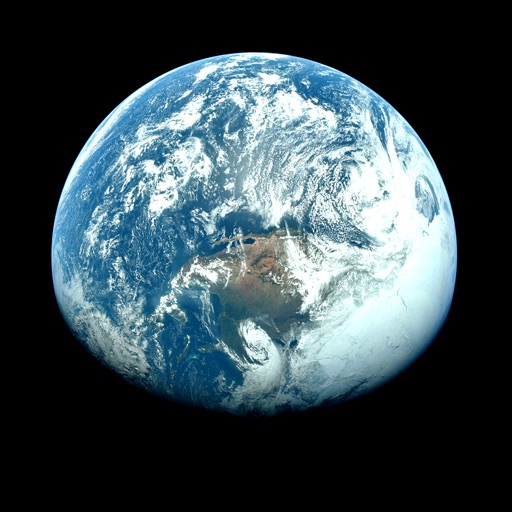
Apps Like Orbiter - Earth Visualizer for iPhone and iPad
View satellite images and time-lapse overlays
View satellite imagery and time-lapse data to analyze features. Compare images using an A/B slider. Visualize environmental data like air pollution, vegetation, and sea ice. Explore unfiltered satellite views from the ESA’s Sentinel-2 satellites.
by Rayner Software★ 4.657 ratingsTravelFreeData updated 2026-09-29
View current updates multiple times per hour. Access high-resolution satellite cloud imagery and 250-meter radar. Check daily and hourly forecasts updated hourly. Add and save favorite locations. See future radar for severe movement.
View current updates multiple times per hour. Access high-resolution satellite imagery and 250-meter radar. Save favorite locations and use integrated GPS for location awareness. Check hourly and daily forecasts from computer models.
Monitor maritime vessels with real-time tracking using AIS data. View detailed vessel information including position, speed, and course. Access global ship movements and historical data for analysis. Set alerts for specific vessels or locations.
Access current updates multiple times per hour. View high-resolution satellite cloud imagery and 250-meter radar. Check daily and hourly forecasts updated hourly. Add and save favorite locations. Track severe movement with future radar.
Check current with frequent updates. View high-resolution radar and satellite imagery. Access hourly forecasts and future radar trends. Add and save favorite locations. Use integrated GPS for location awareness.
Access real-time data with high-resolution radar and satellite imagery. Track severe trends and view current conditions updated frequently. Save favorite locations and receive forecasts for daily and hourly periods.
View current updates multiple times per hour. Access high-resolution satellite imagery and 250-meter radar. Check hourly and daily forecasts. Track severe movement with future radar. Save and add custom locations.
View current weather with frequent updates. Access high-resolution radar and satellite imagery. Track severe weather movement with future radar. Save favorite locations. Use GPS for location-based forecasts. Add and manage stations.
Access real-time updates multiple times per hour. View high-resolution satellite imagery and 250-meter radar. Check future radar for severe trends. Get daily and hourly forecasts from computer models. Add and save custom locations for quick access.
Distances between two or more points on a map. Place markers to calculate straight-line distance. Sum total distance for multiple locations. View distance in kilometers or miles.
Access current updates multiple times per hour. View high resolution satellite cloud imagery and 250 meter radar. Check hourly and daily forecasts from computer models. Add and save favorite locations. Track severe movement with future radar.
Monitor with real-time hurricane, typhoon, and tropical storm tracking. View animated satellite and radar imagery for the US. Access marine weather data and UV index. Receive alerts for tornadoes and severe thunderstorms.
Track tides and marine weather with real-time forecasts and buoy observations. View NOAA marine reports and weather data. Plan activities like fishing, boating, or beach trips. Set alerts for changing conditions.
Find camping spots and accommodations globally with offline maps. Search by location or keyword. Rate and review places based on real traveler experiences. Save favorites and navigate without internet access. Share trip itineraries with others.
The app provides 250 meter radar with future radar to track severe weather. It offers high-resolution satellite imagery and current weather updates multiple times per hour, with daily and hourly forecasts updated hourly.
The app provides real-time earthquake alerts from over 10 official seismic networks worldwide. It offers live worldwide earthquake data, tsunami warnings, and volcano information on a detailed map.
View real-time video updates from the First Warning team. Access 250-meter radar for high-resolution tracking. Use Futurecast to time out rain and snow. See high-resolution satellite imagery. Check current conditions as they update.
View current updates multiple times per hour. Access high-resolution radar and satellite imagery. Save favorite locations and severe trends. Use integrated GPS for location-based forecasts. Add and save custom locations.