
BigMap
Corvin Hartmann
View maps, search locations, customize settings
View maps in three different styles with six customizable settings. Long press to access map options. Search for locations and streets. Navigate with fullscreen map interface.

Showing 1–20 of 1,000 ranked alternatives.
Corvin Hartmann
View maps, search locations, customize settings
View maps in three different styles with six customizable settings. Long press to access map options. Search for locations and streets. Navigate with fullscreen map interface.

Demetri Miller
View cameras on a map
View live camera feeds on an interactive Tennessee map. Save favorite cameras for quick access. The remembers your last location. Sort favorites by location. Integrates with Google Maps overlay.

Avenza Systems Inc.
Navigate with maps and GPS
Use GPS to navigate trails . Import custom maps and create personal maps. Access topographic, hiking, cycling, and city maps from publishers like National Geographic and National Park Service. Sync with devices for use.

Makoto Katsumata
Navigate with and map
Navigate using synchronized and map. Designate points by holding. Create routes and add multiple pins. four map types and traffic. Share locations. Search for places. Switch between portrait and landscape modes.


FOXPOI PTE. LTD.
View locations with satellite imagery
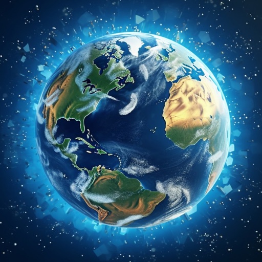
View high-definition 3D globe and latest satellite imagery. Load map tile data for detailed terrain and urban features. Use oriental compass for direction. Access historical street view for past locations. Measure area and distance on .

Kyle Modesitt
Find and check weather
Find managed by the United States Forest Service or Bureau of Land Management. View campground details including name, agency, weather, elevation, and images. Search and locate nearby sites. Share location data with a Road Trip Planner .

Active911, Inc
Alert instantly, map locations, coordinate responses
Receive critical call details instantly via Apple Push notifications. Automatically map alarm locations and share real-time updates with responders. Access related photos and documents directly. Convert unclear dispatch data into readable sections.


LW Brands, LLC
Download for offline use
View and navigate USGS and satellite imagery. Download for offline use. Track hiking routes and save locations. Access detailed terrain and elevation data.


Abbro Inc
View , edit layers, share annotations
View PDF, TIFF, KAP, and KML files. Sync with iCloud, Google Drive, OneDrive, and Dropbox. Add placemarks, record tracks, and draw shapes. Share annotations in real time. Use tools like theodolite and georeferencer for map editing.

ASUCD Creative Media
Students made this app for students.
The app provides access to UC Davis email, campus maps, and a directory of campus and local resources. It also offers real-time Unitrans schedules, maps, and predictions, along with news and events.

Zed Said Studio LLC
Find Waymarks and view details
Find and view Waymarks worldwide with detailed info, logs, and photos. Search and filter Waymarks by category. Log visits, add comments, and save to offline lists. Export GPX files and use premium offline maps for navigation.

TOURISTIKI MONOMETOCHIKI SOLE SHAREHOLDER CO. DIMOTIKI S.A. AXIOPOIISIS DIMOTIKON AKINITO


LW Brands, LLC
Track hikes, view maps, monitor stats
Track hikes with distance, vertical gain, time, and calories burned. View maps with color-coded elevation tracks and stats on Apple Watch. Backup data to iCloud and share between devices. Use USGS and satellite maps for navigation.

Igor Panichev
Explore 3D maps and global facts
Explore a 3D globe with relief models and political and physical maps. View day/night cycles, time zones, and city lights. Access over 2,600 geographic objects and more than 500 wonders of the .

Makoto Katsumata
Navigate with real-time traffic data
Navigate using auto-direction based on current location. Create routes on Google . Access latest Street View and traffic data. Search locations with simple input. Add multiple pins and view full-screen . Display latitude and longitude.
Apps are ranked by functional similarity, category fit, rating confidence, and popularity.